World’s Northernmost Coral Reef Discovered in Japan
When most of us think of coral reefs, probably do we picture scuba divers gliding through warm, crystal-clear waters. And for the most part, we’d be right: more than 90 percent of the world’s coral reefs are located in the tropics.
Emerging Trends in Land-Use conflicts in Cameroon
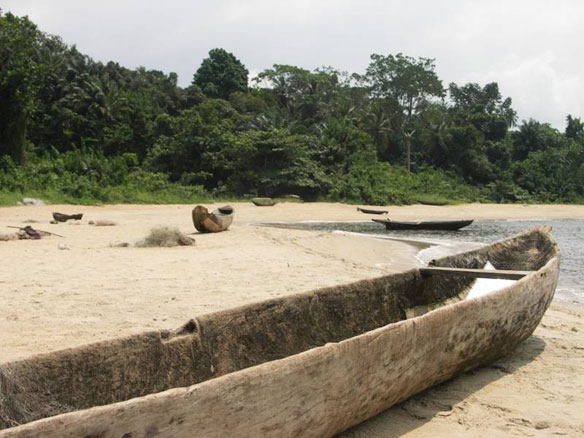
In 2011, WWF produced a map of the protected areas of Cameroon at the request of the government. Simultaneously, observations had been made by conservation groups that mining permits were being granted inside of Cameroon’s protected areas…
Rock Drilling ‘Threatens’ Scotland’s Geology
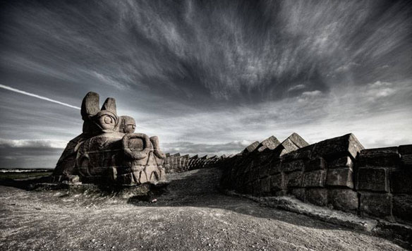
Irresponsible drilling of holes into rocks to extract samples threaten to “annihilate” geological features in Scotland, with the general public experiencing defaced outcrop in every setting imaginable – remote beaches and islands, mountain tops, and, lamentably, classic geological sections within statutory protected areas.
Scientists find Grand Canyon-sized rift under Antarctic ice
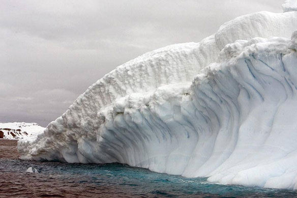
Scientists have discovered a rift the size of the Grand Canyon hidden under the Antarctic ice sheet, which they say is contributing to ice melt and a consequent rise in the sea level.
Caffeinated Coastal Waters

A new study finds elevated levels of caffeine at several sites in Pacific Ocean waters off the coast of Oregon, though not necessarily where researchers expected.
Red Tide Species Is Deadlier Than First Thought
Scientists have discovered that a species of tiny aquatic organism prominent in harmful algal blooms sometimes called “red tide” is even deadlier than first thought, with potential consequences for entire marine food chains.
Mangroves: A Filter for Heavy Metals
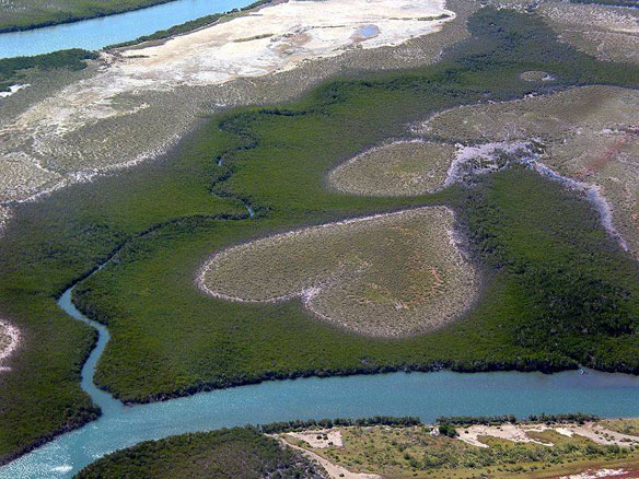
A mangrove is a forest consisting of various species of mangrove trees growing with their bases submerged in water, at the interface between land and sea. They cover more than three quarters of tropical coastlines, that is to say almost 200,000km². In New Caledonia, they accounts for almost 80% of the island’s western coastline.
Satellites See Unprecedented Greenland Ice Sheet Surface Melt
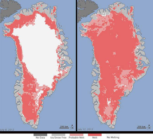
For several days this month, Greenland’s surface ice cover melted over a larger area than at any time in more than 30 years of satellite observations. Nearly the entire ice cover of Greenland, from its thin, low-lying coastal edges to its two-mile-thick center, experienced some degree of melting at its surface.
Climate Change and Deforestation: Pre-Human Effect On Biodiversity in Northern Madagascar
A recent study, by an international research group led by Lounès Chickhi, group leader at the Instituto Gulbenkian de Ciência (Portugal) and CNRS researcher (in Toulouse, France), questions the prevailing account that degradation of tropical ecosystems is essentially a product of human activity…