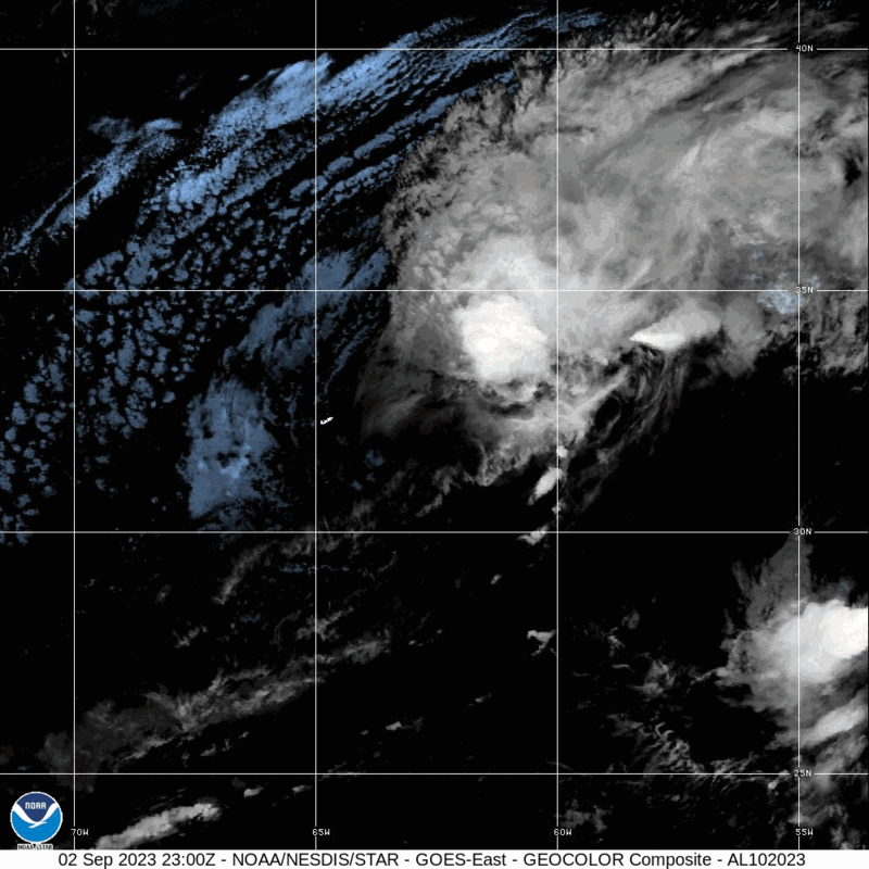
Hurricane Idalia made landfall Wednesday as a Category 3 storm and one of the hardest hit areas was the island of Cedar Key.
Excerpt:
Rising oceans substantially worsened the devastating storm surge that Hurricane Idalia flung at the Florida coast on Wednesday, according to scientific experts and data analyzed by The Washington Post.
An unusual, dramatic surge in sea levels in the Gulf of Mexico, which began around 2010, could have added nearly five inches to the height of the waters that raced ashore, the figures suggest. More gradual sea level rise between 1939 and 2010 added about four more inches.
In many locations, this overall rise of about nine inches in sea level could have made the difference between flooding and staying dry, experts said.
“In this region, the eastern Gulf Coast, sea level rise has been faster since 2009, 2010,” said Jianjun Yin, a climate scientist at the University of Arizona who published a study in the Journal of Climate this year on this recent acceleration and how it has affected hurricanes. “So with this faster sea level rise, the storm surge could get higher and higher.”
The highest water level recorded with Idalia — a preliminary value of 6.89 feet above the average highest daily tide recorded from 1983 to 2001 — would, if confirmed, be the highest reading that the tide gauge at Cedar Key, a small island community battered by Idalia’s surge, has ever measured. It eclipses the prior record, recorded in 2016, by just under a foot.
Cedar Key, where at least a third of all buildings are believed to have sustained damage during Idalia, is also home to the best long-term record of sea level in Florida’s Big Bend region. Idalia made landfall Wednesday morning about 60 miles north of Cedar Key along Florida’s coast.
The Post calculated the sea level trend at the Cedar Key tide gauge, divided into two periods to emphasize the recent acceleration — a method also used in Yin’s study. The analysis began in 1939 because of substantial data missing before that date. The results suggest that the sea level has risen by around nine inches since 1939 — with about half of the rise occurring in the past 13 years.
Idalia brought the latest examples of new high-water marks being set in the gulf during hurricanes in recent years. According to Yin’s study, Hurricane Ian set a record at Fort Myers, Fla., last year, as did Hurricane Michael at Apalachicola, Fla., in 2018.
The sea level in any particular location rises and falls because of changing seasons, global weather patterns such as El Niño and the tides. It rises dramatically during hurricanes. All of these fluctuations represent departures from a mean sea level, a background state that scientists can calculate. It is this mean sea level that has risen at Cedar Key, just as it has all along the U.S. coastline and beyond as the planet warms.
According to scientists, this means that when a major storm occurs in the Gulf of Mexico, it is now occurring atop a higher sea level, and its storm surge can reach farther inland.
“There is strong evidence that sea levels are higher on Florida’s west coast than they would have been 100 years ago, in large part due to human-caused climate change,” said Daniel Gilford, a climate scientist with Climate Central…
Videos taken across Florida show the damage caused by Hurricane Idalia, which made landfall around 7:45 a.m. ET as a Category 3 hurricane.
Hurricane Idalia made landfall in Florida’s Big Bend region Wednesday morning as a powerful Category 3 storm.
Hurricane Idalia made landfall Wednesday as a Category 3 storm and one of the hardest hit areas was the island of Cedar Key.


