Excerpt:
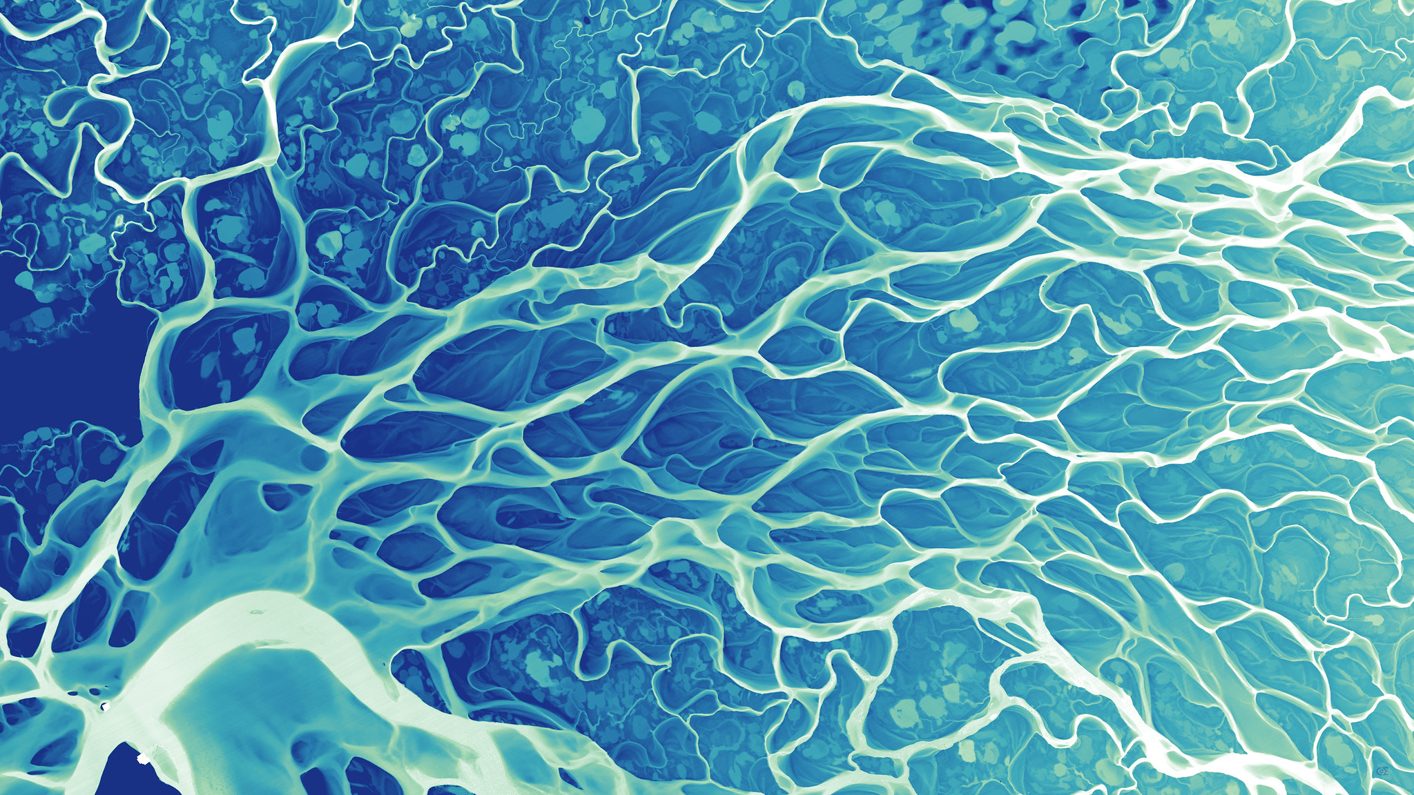
River histories visualized as entangled, intricate textures
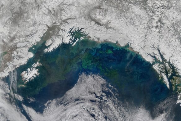
Cartographer Daniel Coe uses relative elevation data, primarily from plane-mounted lasers called lidar, to visualize Earth’s natural features, like rivers and floodplains. His stunning river maps reveal stories hidden in historical sediment and past channels carved by the water, as it twists and turns through both landscape and time.

Also of Interest:
Jessica Stewart | My Modern Met (11-23-2023)
Artistic Views of the World’s Rivers and Deltas Created Using Lidar Data
Michael Crowe | High Country News (07-1-2022)
The beauty buried in the data
Excerpt:
Graphics editor Daniel Coe has always been captivated by maps, and his love of cartography has only grown over the years. For the past several years, he has been creatively using this passion to make stunning artwork focused on the world’s rivers. Coe takes advantage of open-source lidar data to put together evocative maps that tell the history of these rivers and deltas…
Excerpt:
Daniel Coe, the graphics editor for the Washington Geological Survey, creates surreal composite images showing rivers, ridges and other natural features from above…The process begins with survey teams gathering laser scans using LiDAR…Then Coe adds artificial light and color — sometimes even aerial photography — to the topographical renderings, exposing the beauty buried in the data…