Sand trafficking: a scourge that is worsening in Latin America – El Nuevo Siglo | Insight Crime
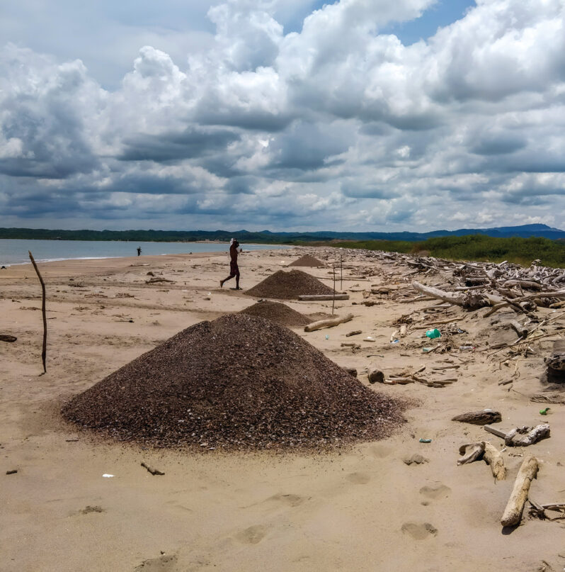
Low risk, difficult to detect and with huge profits, this crime affects most countries in the region. There are several ‘cartels’ in this black market…..
Photos: Beryl makes landfall on Texas coast as Category 1 storm – the Washington Post
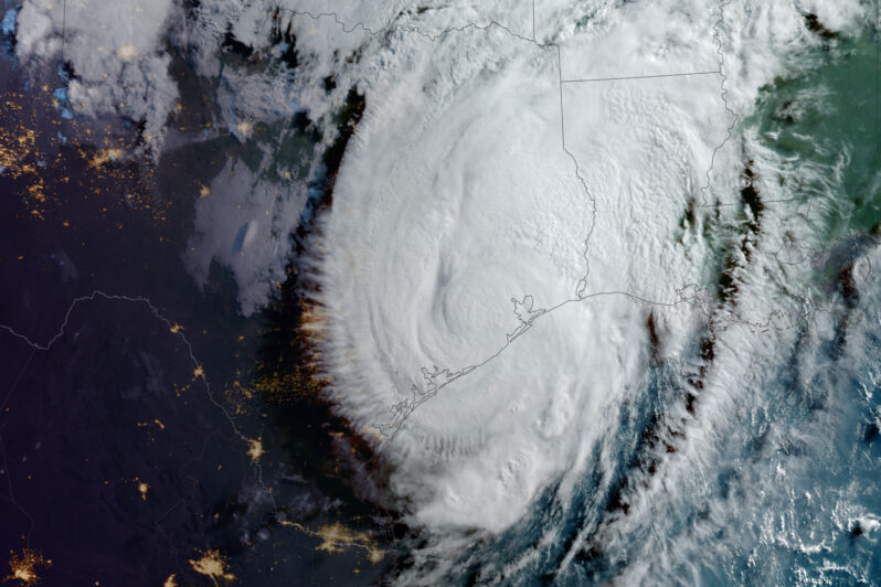
Hurricane Beryl headed to Texas after hitting Mexico and leaving a trail of destruction across the eastern Caribbean…
Daniel Coe’s Astonishing River Cartography – Orion
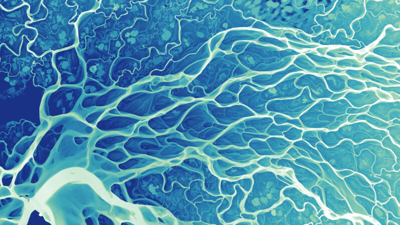
Cartographer Daniel Coe uses relative elevation data, primarily from plane-mounted lasers called lidar…His stunning river maps reveal stories hidden in historical sediment and past channels carved by the water, as it twists and turns through both landscape and time.
Tromelin Island’s Impressive Comeback – Hakai Magazine
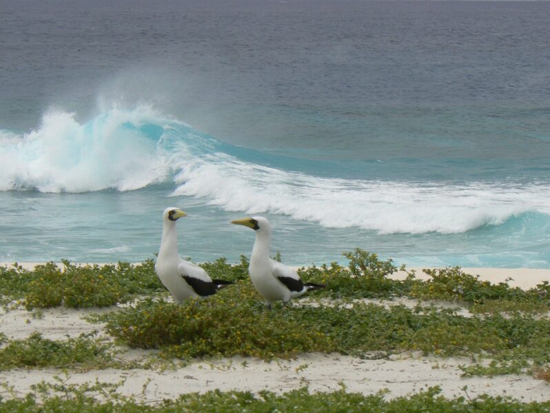
One small island in the Indian Ocean shows how quickly seabird populations can recover after people eradicate invasive predators…
When dams come down, what happens to the ocean? – High Country News | Hakai Magazine
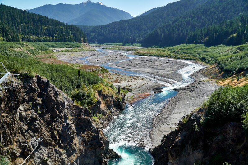
A long-term study of the Elwha River Delta reveals lasting change — and a healthier ecosystem.
How Florida is Getting Back Its Pink | Interactive – the Washington Post

When Keith Ramos heard a small flock of American flamingos had landed last fall at the nature preserve he oversees off Florida’s Atlantic coast, he rushed to get a once-in-a-lifetime glimpse of the gangly pink birds in the wild…
Seabird poop helps restore coral reefs – Mongabay Kids
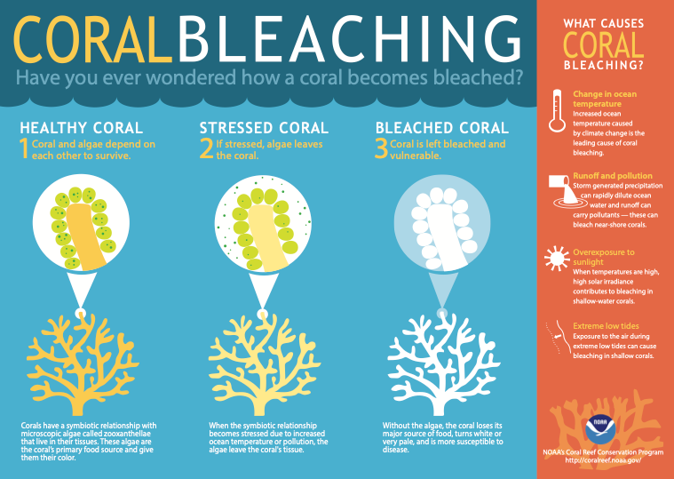
Exciting news! Scientists working on reefs in the Indian Ocean have discovered that nutrients from seabird poop help corals grow…
The Two Men – Mogador, Morocco (2014) by Julien Drach
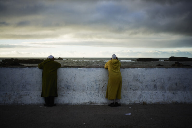
Julien Drach (b. 1973) is a French photographer, filmmaker and Art Director. His photography, which is at once painterly and cinematic, sets a richly layered scene, inviting us into the story. JulienDrachStudio.com Instagram “In my photos, I blend two major sources of inspiration: painting and film, but it is an unconscious creative process. I’m constantly […]
Beach Nourishment: A Critical Look – Gary Griggs | Journal of Coastal Research
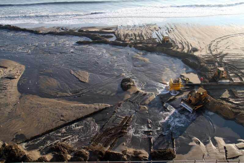
More than $15 billion, mostly federal dollars, have been spent moving sand to the shoreline for both recreational and shoreline protection benefits. Still, whether in New Jersey, New York, North Carolina, Florida, or California, the life span of the sand added artificially to these beaches in many cases has been relatively short and in some instances has been less than a year…
