Coastal Sand Mining: Govts. Asked to Respond; India
The Madras High Court has directed the Centre and the Tamil Nadu government to respond to a public interest litigation petition seeking a SIT probe into illegal beach sand mining in the State.
The Oceans Are Warming so Fast, They Keep Breaking Scientists’ Charts
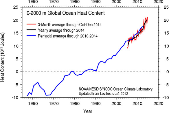
NOAA once again has to rescale its ocean heat chart to capture 2014 ocean warming.
After Nine Years of Foot-Dragging, U.N. Ready for Talks on High Seas Treaty
After intense negotiations, the United Nations has agreed to convene an intergovernmental conference aimed at drafting a legally binding treaty to conserve marine life and govern the mostly lawless high seas beyond national jurisdiction.
Greenland’s Ice Layers Mapped in 3D
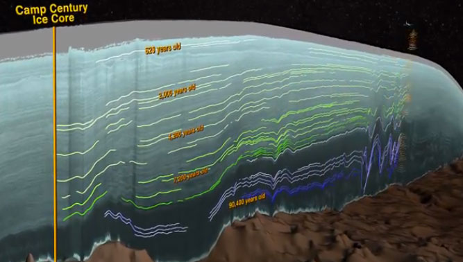
Scientists using ice-penetrating radar data collected by NASA’s Operation IceBridge and earlier airborne campaigns have built the first-ever comprehensive map of layers deep inside the Greenland Ice Sheet.
Tales of Ancient Sea Rise Told for 10,000 Years
To most of us, the rush of the oceans that followed the last ice age seems like a prehistoric epoch. But the historic occasion was dutifully recorded, coast to coast, by the original inhabitants of the land Down Under.
The Electric Eye of Cyclone Bansi
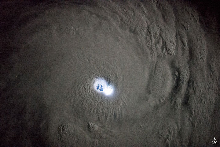
Though these images may look like they come from a science fiction movie, they are in fact photographs of tropical cyclone Bansi as seen at night by astronauts on the International Space Station (ISS). The images were taken when the ISS was east of Madagascar.
What Happens When You Bring Sand to the Beach
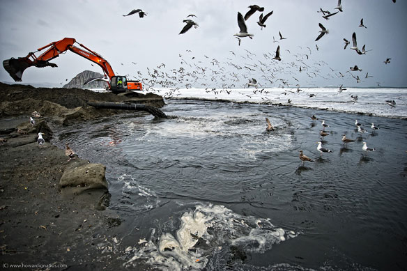
A homeowners association, in San Diego County, California, claims that a $28.5 million sand-replenishment project has gone wrong. The 450,000 cubic yards of sand taken from offshore sites and placed on less than a mile of coastline created a flood hazard.
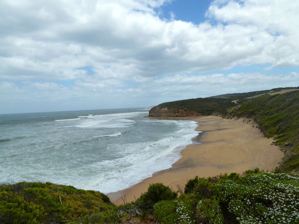
The Costa Del Concrete: Europe’s Coastlines and Urban Sprawl
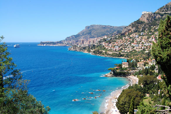
Two French oceanography researchers expected to find pollution on their 8,345km, 14-month kayak journey from Gibraltar to Istanbul, but what shocked them was the endless spread of cities along the coast.
Study Projects Unprecedented Loss of Corals in Great Barrier Reef Due to Warming
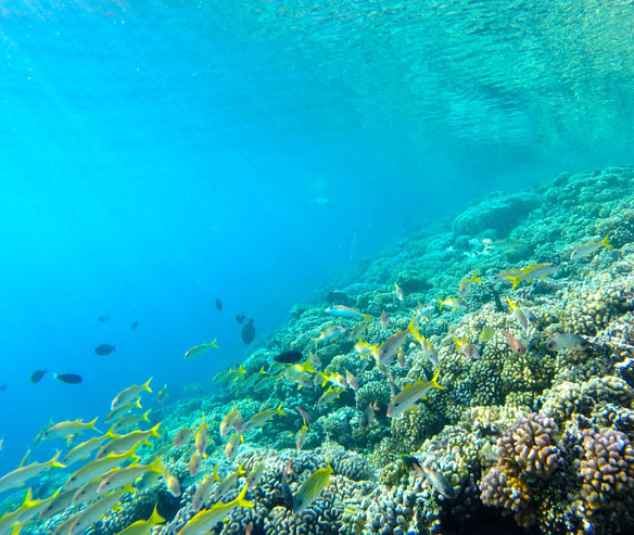
The coverage of living corals on Australia’s Great Barrier Reef could decline to less than 10 percent if ocean warming continues, according to a new study that explores the short- and long-term consequences of environmental changes to the reef.