Half a degree more global warming could flood out 5 million more people
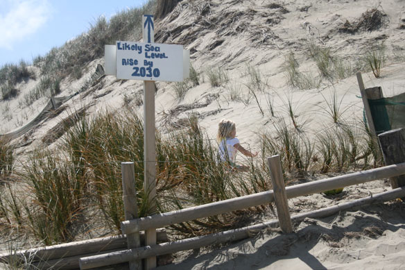
A new study finds that by 2150, the seemingly small difference between a global temperature increase of 1.5 and 2.0 degrees Celsius would mean the permanent inundation of lands currently home to about 5 million people, including 60,000 who live on small island nations.
Sinking land will exacerbate flooding from sea level rise in Bay Area
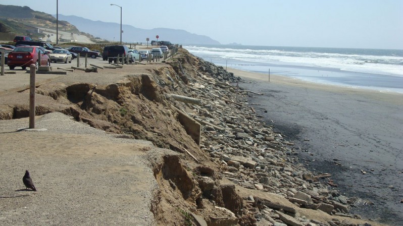
Hazard maps use estimated sea level rise due to climate change to determine flooding risk for today’s shoreline, but don’t take into account that some land is sinking. A precise study of subsidence around San Francisco Bay shows that for conservative estimates of sea level rise, twice the area is in danger of flooding by 2100 than previously thought. Some landfill is sinking 10 mm per year, threatening the airport and parts of Silicon Valley.
Today’s storm surge is tomorrow’s high tide, new report predicts
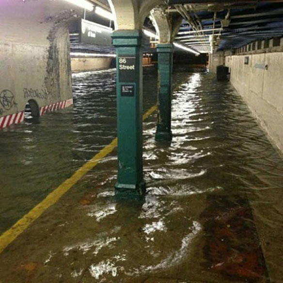
For the second time in just five days, the Northeast is facing a major coastal storm, or nor’easter, which is pushing ocean water over storm walls and into the streets of many coastal cities. The flooding comes as a major report released this week by NOAA highlights a growing threat facing coastal communities in all parts of the United States.
Powerful winter storms show damage high tides with sea level rise can do
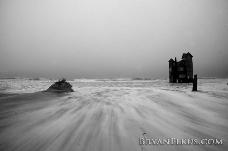
With two powerful storms generating record high tides that inundated parts of the Atlantic Coast just weeks apart—and a third nor’easter on its way—environmental advocates are urging greater efforts to address climate change and adapt cities to sea level rise.
Patterns and projections of high tide flooding along the US coastline using common impact threshold
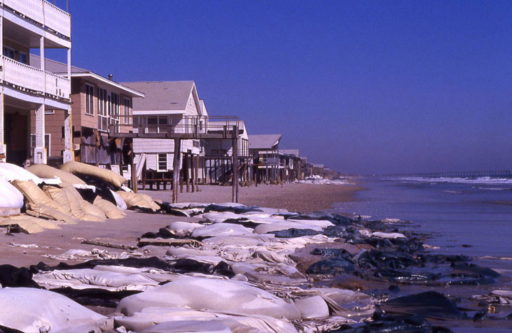
For forecasting purposes to ensure public safety, NOAA has established three coastal flood severity thresholds. The thresholds are based upon water level heights empirically calibrated to NOAA tide gauge measurements from years of impact monitoring by its Weather Forecast Offices (WFO) and emergency managers.
Sea level rise threatens to wipe out West Coast wetlands
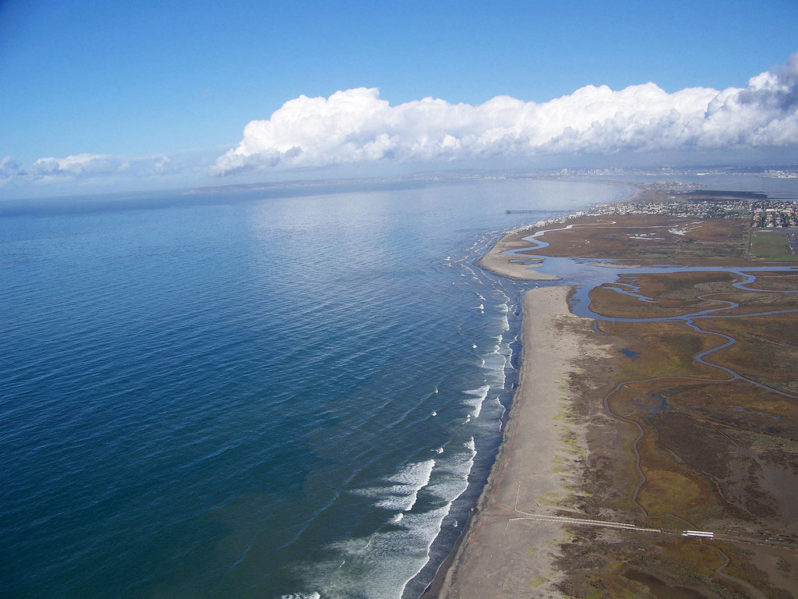
Rising seas will drown most wetlands on the U.S. West Coast in less than a century, a new study led by the U.S. Geological Survey warns. In many areas, the wetlands won’t be able to migrate inland without help.
The next five years will shape sea level rise for the next 300, study says
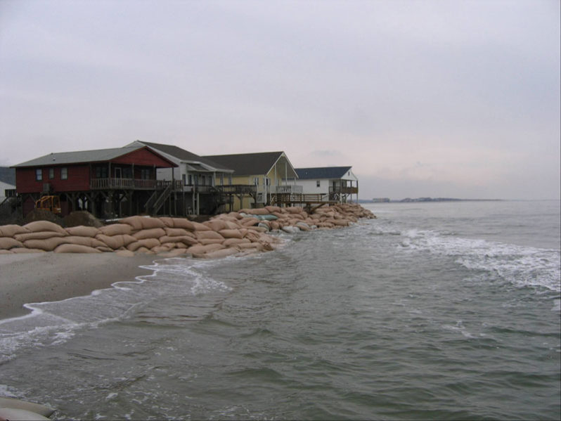
Peaking global carbon dioxide emissions as soon as possible is crucial for limiting the risks of sea-level rise, even if global warming is limited to well below 2 degrees C. A new study analyzes for the first time the sea-level legacy until 2300 within the constraints of the Paris Agreement.
Hurricanes are not to blame for most big storm surges in Northeast
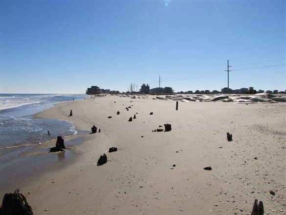
Hurricanes spawn most of the largest storm surges in the northeastern U.S., right? Wrong, according to a study by Rutgers University-New Brunswick scientists. Extratropical cyclones , including nor’easters and other non-tropical storms, generate most of the large storm surges in the Northeast.
New Study Finds Sea Level Rise Accelerating
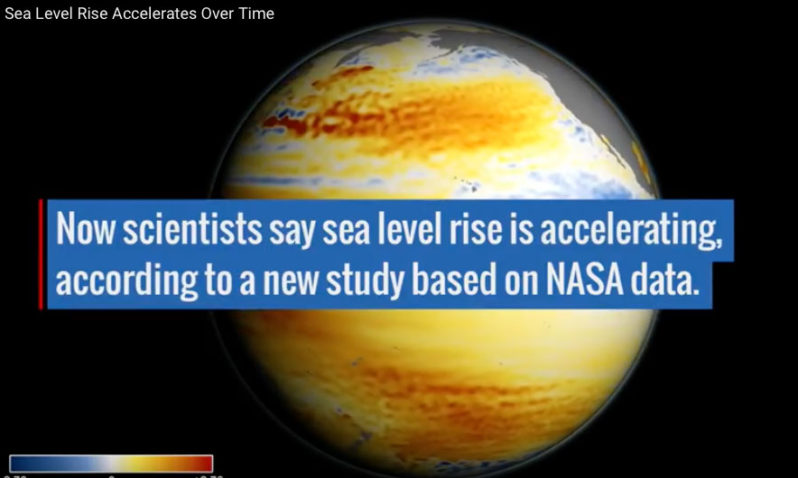
Global sea level rise is accelerating incrementally over time rather than increasing at a steady rate, as previously thought, according to a new study based on 25 years of NASA and European satellite data.
