Up to 70% of California beaches could disappear by end of the century – the Guardian

A new study uses satellites to predict what California’s famous coastline could look like by 2100.
California is known for golden sands and endless waves, but much of the state’s famous shoreline could vanish in the future. That’s according to a new study, which found that between 25% and 70% of California beaches might be washed away by the end of the century, leaving only cliffs or coastal infrastructure in their wake…
What exactly is an Atmospheric River? – USGS Communication
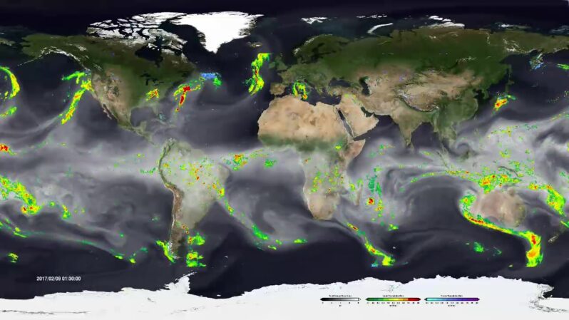
Atmospheric rivers have been in the news a lot over the past couple of months, from a late October atmospheric river that brought record-breaking rainfall across Northern California to a mid-November storm that led to catastrophic flooding in Washington. A new atmospheric river storm is hitting the Western U.S. now and more are likely on their way. But what exactly is an atmospheric river?
USGS Remote Sensing Data Tracks Coastal Erosion from California Storms – USGS
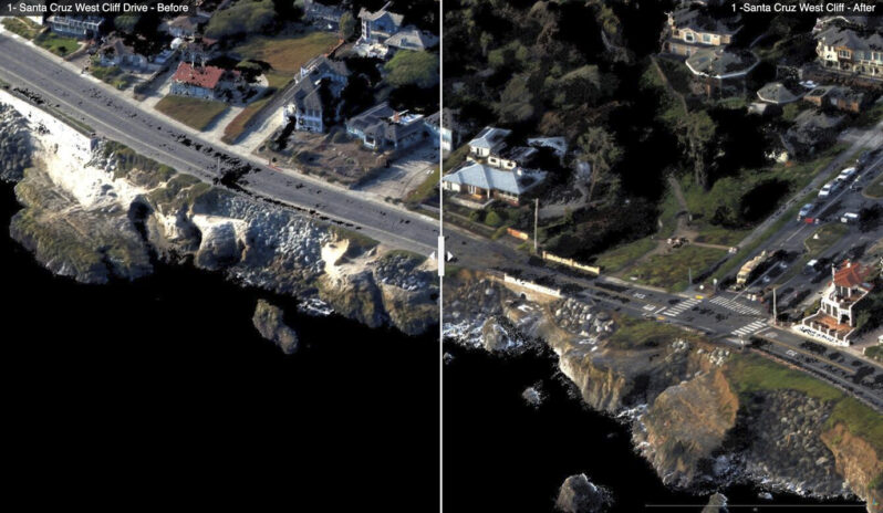
The USGS has collected and released topographic data that show the erosional effects of the January 2023 storms on the coast for the Santa Cruz region of California…Comparing the data with pre-storm conditions mapped in September 2022 provide “before” and “after” perspectives of the effects of the January storms. These data have been released under USGS Emergency Use Data authorities for data that have immediate or time-sensitive relevance to public health and safety…