Photo source: ©© Irargerich
Excerpts;
In June, geologists at the College of Staten Island, developed a model showing how New York’s geography would amplify a storm surge in the event of a large storm, spelling trouble for low-lying urban areas.
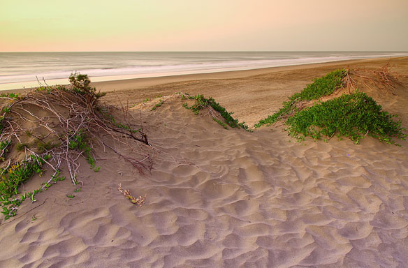
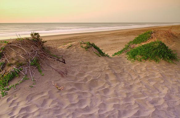
There are several lessons to be learned from their model, and the experience of Sandy, Fritz told OurAmazingPlanet. First, “we need to protect the dunes and marshes that we still have,” he said. The hardest hit area of the island used to be a marsh, he added…

