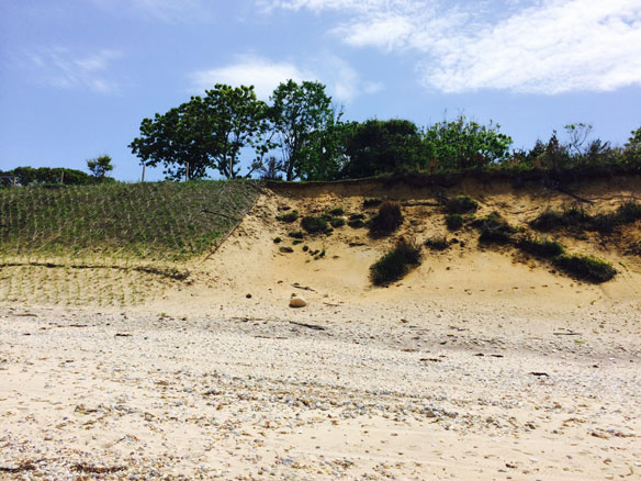
Coastal restauration, New-York. Photograph: © SAF — Coastal Care
Excerpts;
Each and every day, waves move sand back and forth, onto and away from beaches. The thin ribbon of sandy barrier islands and beaches along America’s coastline shifts constantly, especially during hurricanes, nor’easters, and other extreme storms.
How vulnerable is your favorite beach if a hurricane like Katrina, Ike, or Sandy paid a visit? What did your beach look like 50, 100, or 150 years ago? What might it look like in the future? Since more than 40 percent of the nation’s population lives in coastal counties on both the East and West Coasts, answering questions like these will help protect millions of citizens who are at risk from changing sea level, retreating shorelines, and extreme coastal storms.
To help ensure safe and resilient coasts, the U.S. Geological Survey (USGS) has created an online tool that allows anyone to interactively “see” past, present and future hazards. This tool — the USGS Coastal Change Hazards Portal— can aid in decisions that involve emergency preparedness, ecosystem restoration, and where and how to develop coastal areas. The tool runs on web browsers, tablets, and smartphones, and is designed for a wide-range of audiences, from federal and state agencies to non-governmental organizations, public entities, and private citizens…


