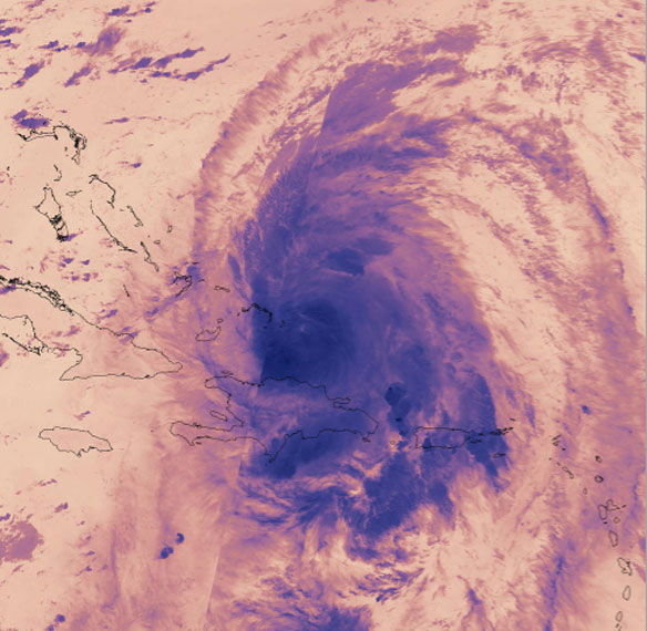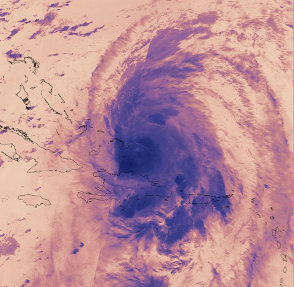
On Sept. 22 at 3:18 a.m. EDT (0718 UTC) the VIIRS instrument aboard NASA-NOAA’s Suomi NPP satellite provided this thermal image of Hurricane Maria north of Hispaniola and nearing the Bahamas. Credits: NOAA/NASA Goddard Rapid Response Team
Excerpts;
After Harvey, Irma, and Maria, a look at why this hurricane season has been so active…
Read Full Article, National Geographic (09-22-2017)
Hurricanes: A perfect storm of chance and climate change? BBC News (09-21-2017)

