Excerpt:
A Times reporter and photographer rode along with a team gathering data on the colossal atmospheric rivers that have drenched the state.
The winter storms pounding California this month have often come into being thousands of miles to the west, in the moist air above the Pacific.
That has given a group of scientists and technicians a few days before one blows ashore to examine satellite readings, run computer models and plan crews and equipment, all of which culminates in a uniquely full-contact effort to understand these storms’ inner workings: By dropping sensors into them from the sky.
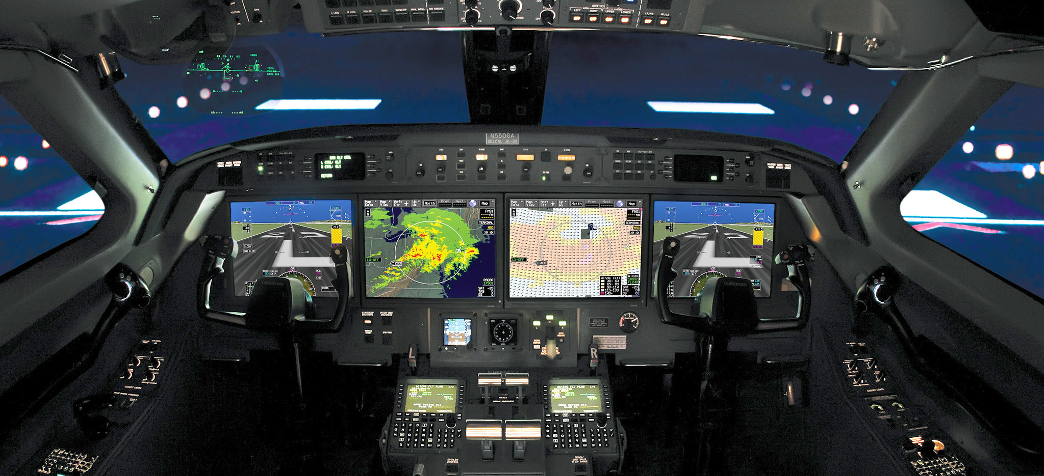
Last week, aboard a Gulfstream IV jet that was streaking toward Alaska as a giant storm seethed miles below, an engineer gave a quick countdown: “Sonde’s out in 5, 4, 3, 2 …”
A hatch in the plane’s belly sprang open. The sonde, a tube of instruments about the size of a model rocket, was sucked out into the frigid air and began plummeting toward the clouds, where it would investigate the storm’s innards and transmit its findings to the world…


