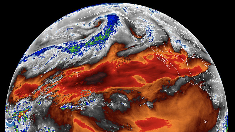
A powerful storm formed above the Pacific Ocean battering the U.S. West Coast seen by a weather satellite in January 2023. (image courtesy of Cooperative Institute for Research in the Atmosphere - CIRA - between Colorado State University and NOAA via Space.com).
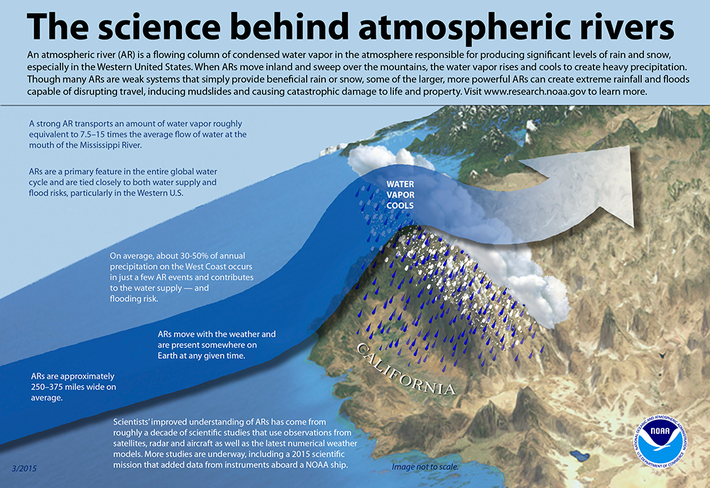
From the National Oceanic & Atmospheric Administration (NOAA) : Atmospheric rivers are relatively long, narrow regions in the atmosphere – like rivers in the sky – that transport most of the water vapor outside of the tropics. These columns of vapor move with the weather, carrying an amount of water vapor roughly equivalent to the average flow of water at the mouth of the Mississippi River. When the atmospheric rivers make landfall, they often release this water vapor in the form of rain or snow…
On average, about 30-50% of annual precipitation in the west coast states occurs in just a few AR events, thus contributing to water supply.
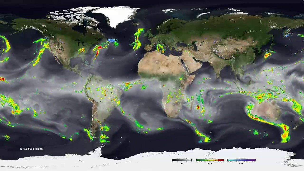
ARs move with the weather and are present somewhere on the Earth at any given time.
A strong AR transports an amount of water vapor roughly equivalent to 7.5–15 times the average flow of liquid water at the mouth of the Mississippi River.
A well-known example of a type of strong AR that can hit the U.S. West Coast is the “Pineapple Express,” due to their apparent ability to bring moisture from the tropics near Hawaii to the U.S. west coast.
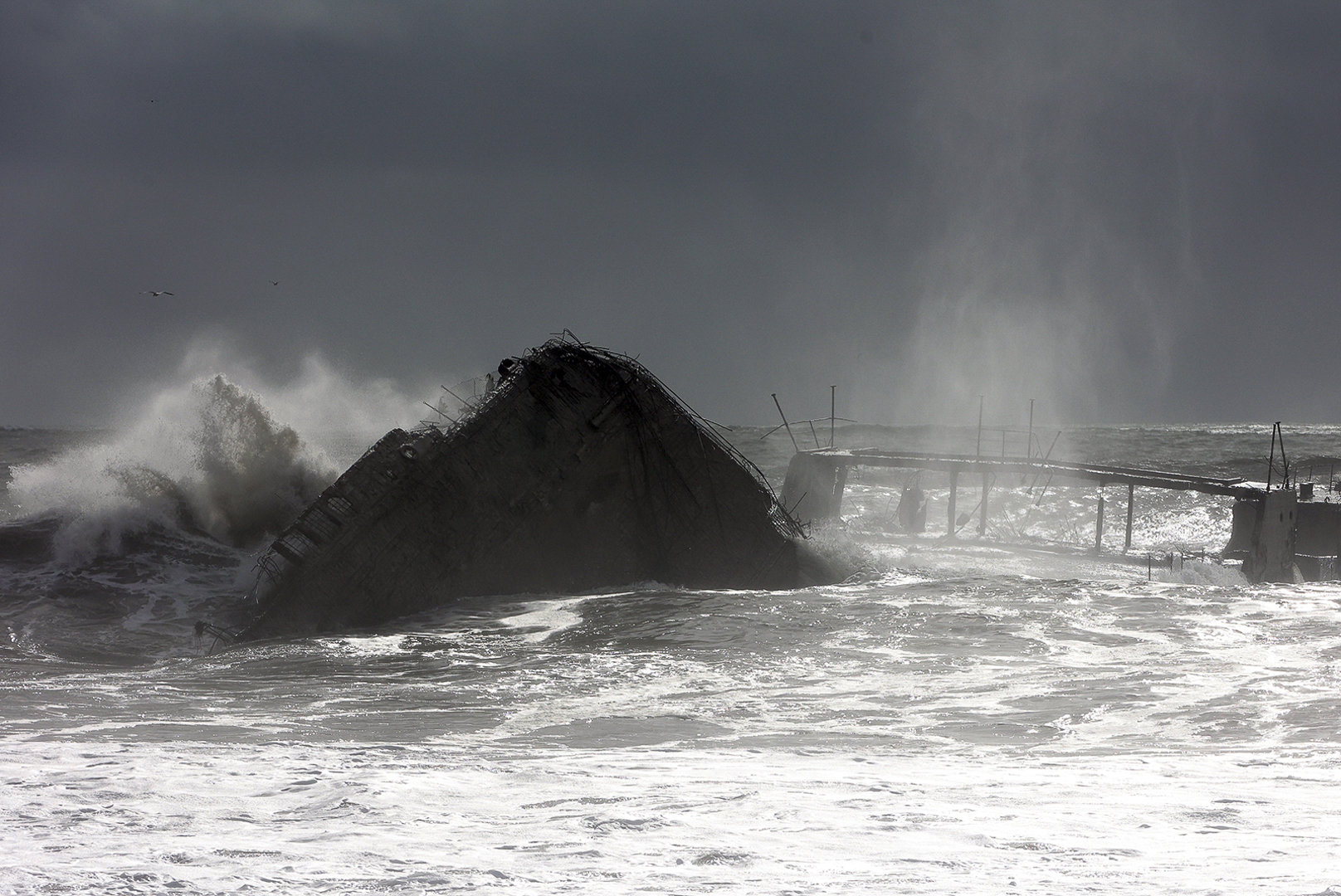
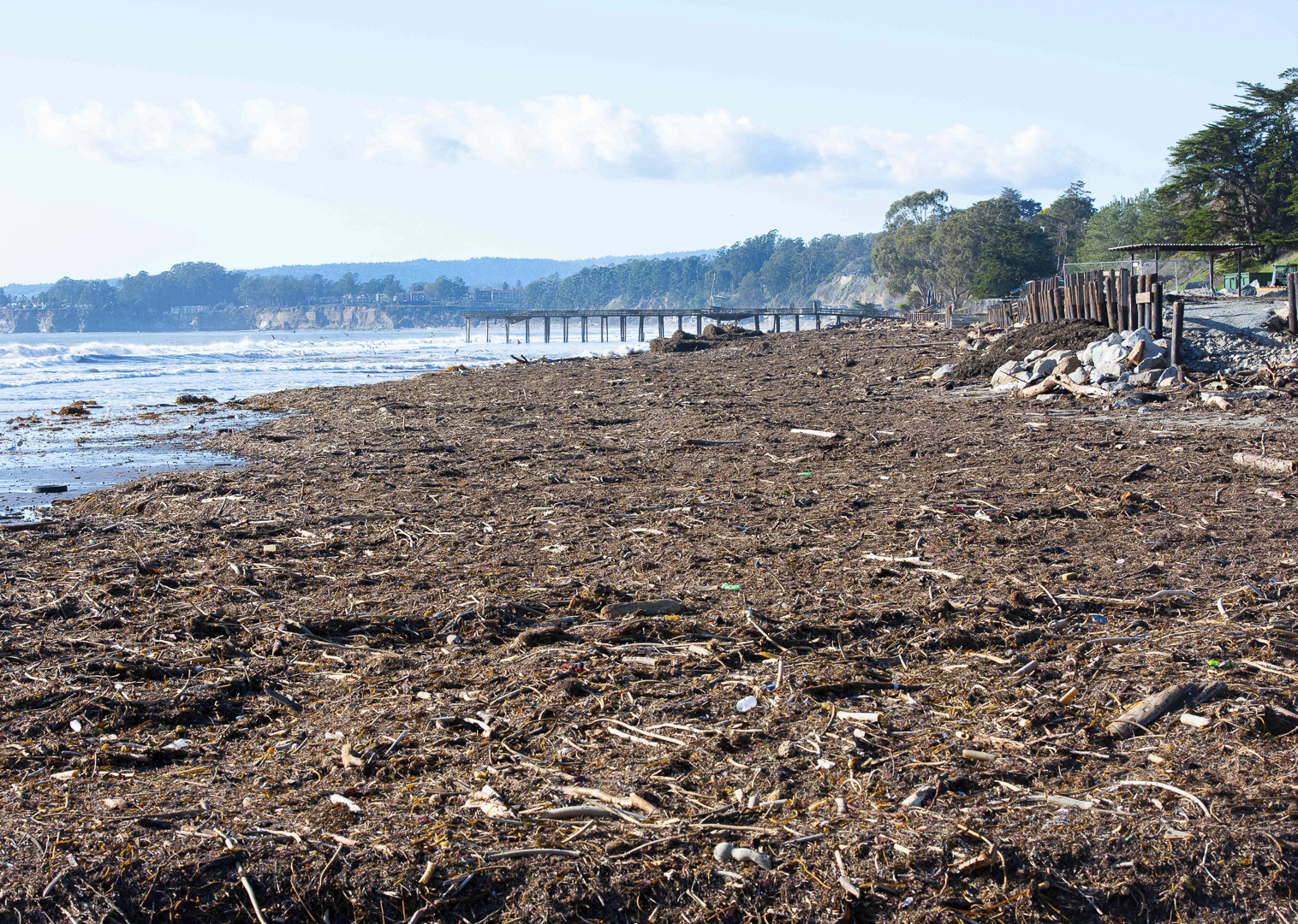
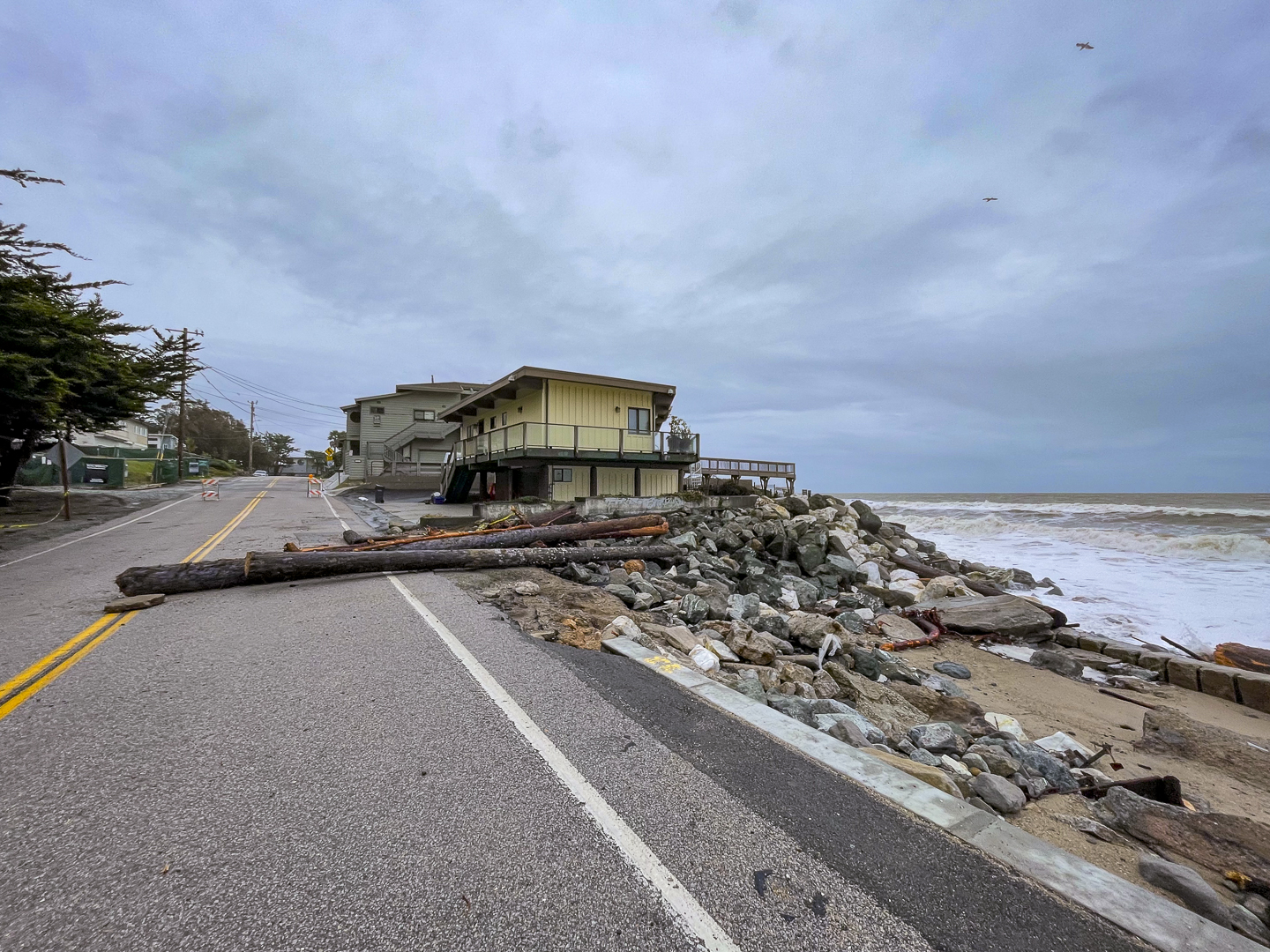
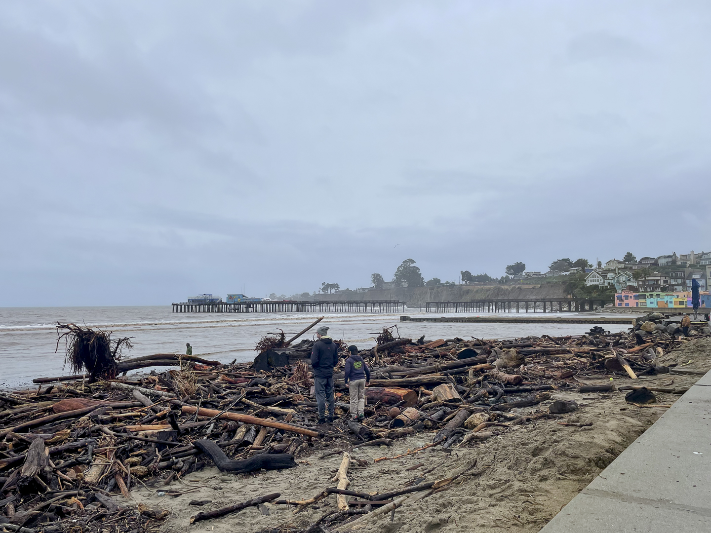
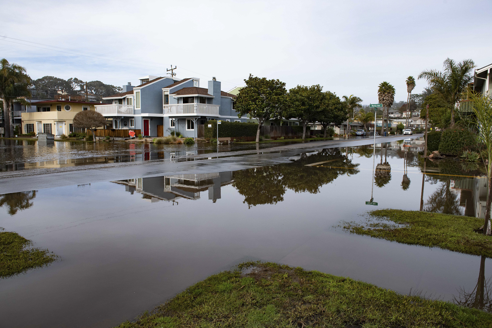
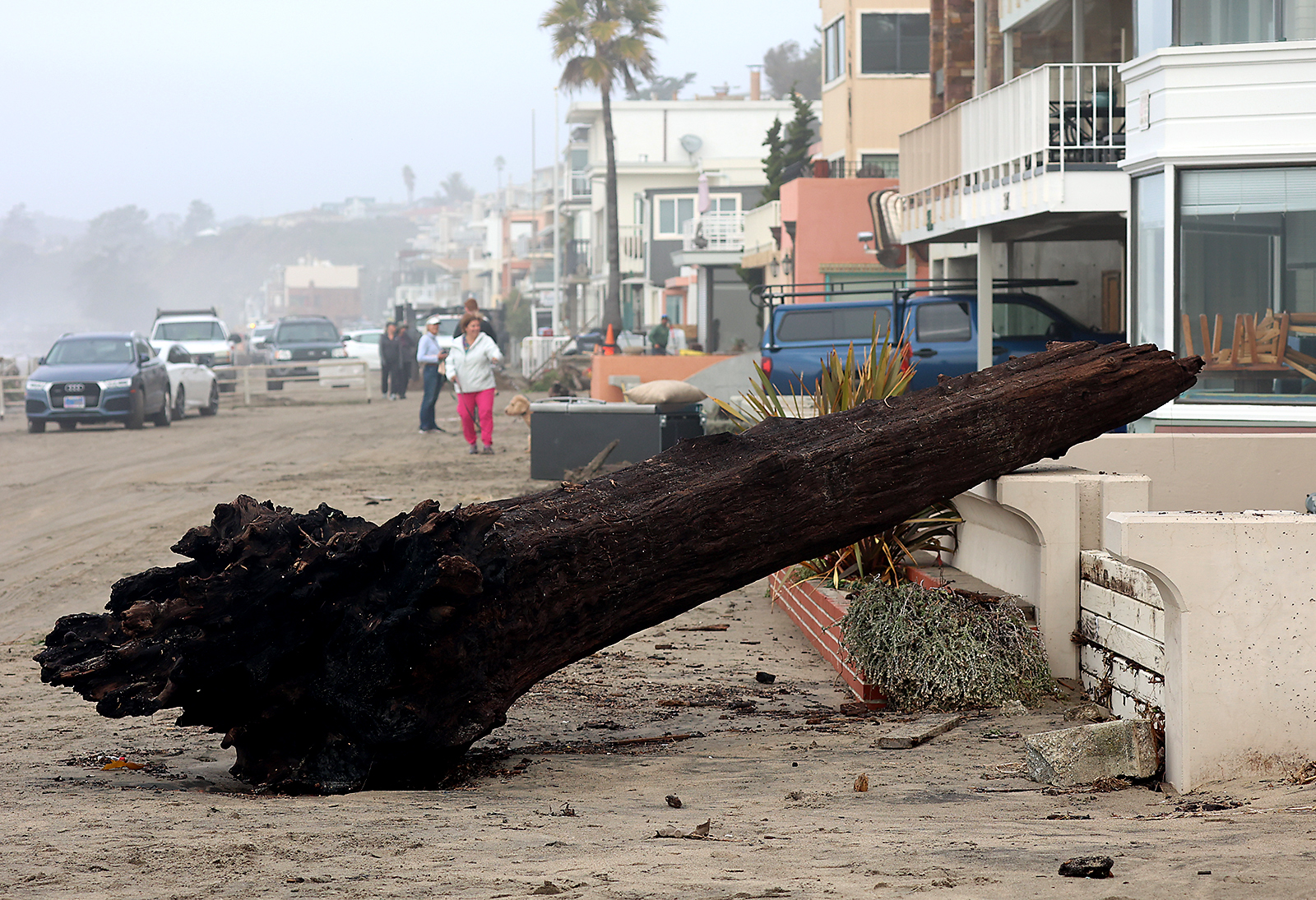
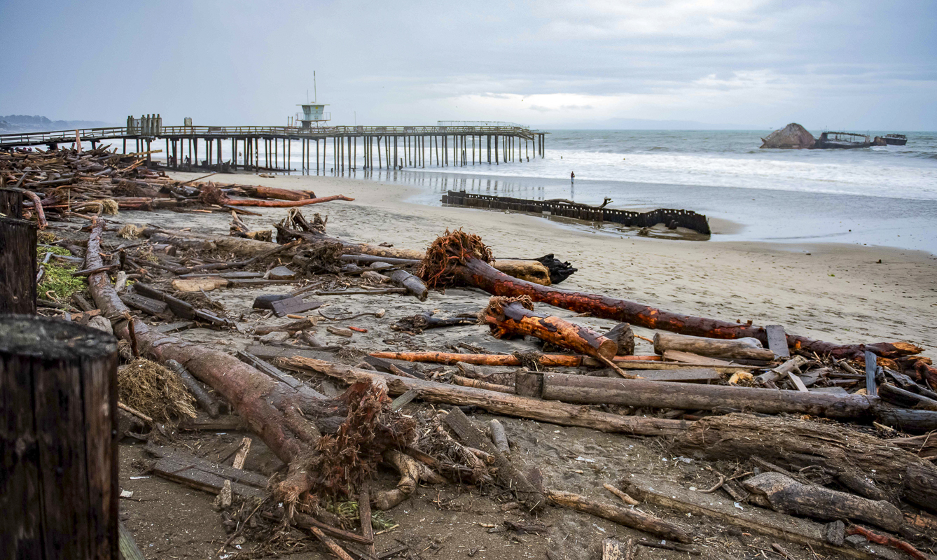
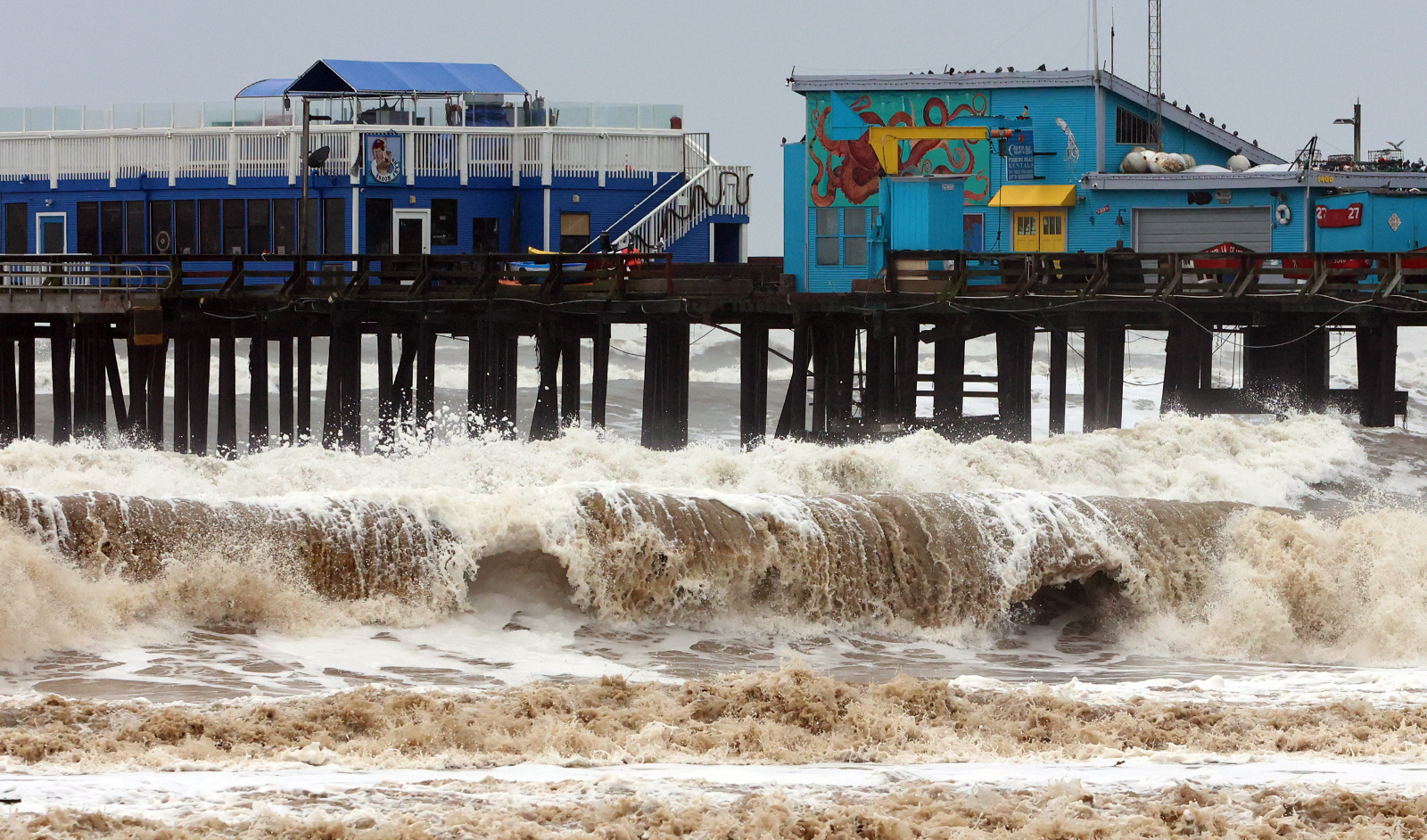
In the strongest cases ARs can create major flooding when they make land-fall and stall over an area.
On average, ARs are 400-600 km wide.
ARs are a default feature in the entire global water cycle, and are tied closely to both water supply and flood risks, particularly in the Western U.S.
Improved understanding of ARs and their importance has come from more than a decade of scientific studies using new satellite, radar, aircraft & other observations & major weather model improvements.