Excerpt:
El Niño has arrived, bringing potentially major effects on weather around the world, such as drought and flooding, and possibly setting a new record for the hottest year.
Seven years ago an exceptionally strong El Niño took hold in the Pacific Ocean, triggering a cascade of damaging changes to the world’s weather. Indonesia was plunged into a deep drought that fueled exceptional wildfires, while heavy rains inundated villages and farmers’ fields in parts of the Horn of Africa. The event also helped make 2016 the planet’s hottest year on record.
Now El Niño is back. The odds are decent that this one will be another strong event, raising concerns of extreme weather in the coming months. And a strong El Niño is very likely to set another global heat record.
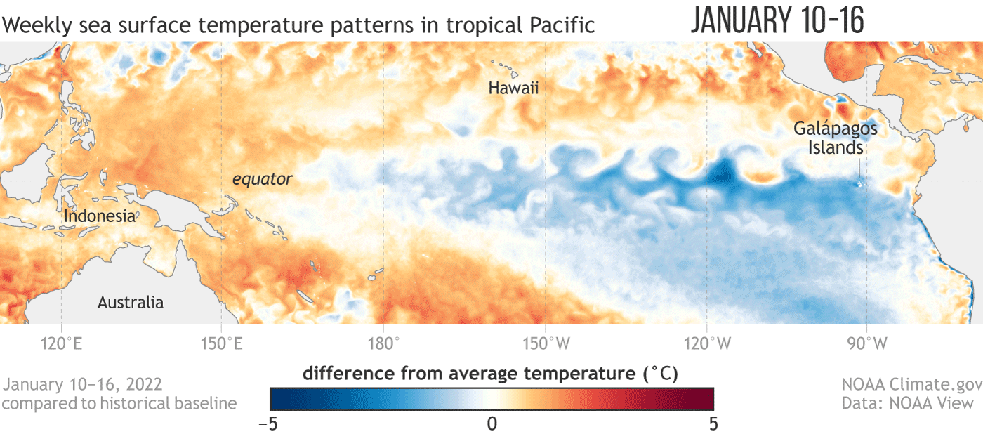
El Niño is part of a natural climate cycle called the El Niño/Southern Oscillation. Its hallmark is a tongue of warmer-than-normal waters that stretches across the eastern and central portions of the tropical Pacific Ocean. Its opposite state is called La Niña, which features colder-than-average waters in the same parts of the Pacific. The ocean seesaws between these states every two to seven years, though the past three years unusually saw three back-to-back La Niñas. The change in ocean surface temperatures during these events alters where heat is released into the atmosphere overhead. That in turn influences atmospheric circulation patterns and sets off a domino effect that can cause major changes to the weather all over the world.
When and whether various regions see these changes depends on location. The closer a place is to the tropical Pacific, the more immediate and likely the effects will be. Impacts also tend to be more pronounced when an El Niño reaches its peak strength, which happens in the Northern Hemisphere’s winter. “The stronger it is, the more confident we are in certain impacts occurring,” says Michelle L’Heureux, a forecaster at the National Oceanic and Atmospheric Administration’s Climate Prediction Center. NOAA forecasts a 56 percent chance the current El Niño will be strong. (One of the benchmarks for measuring an El Niño is that temperatures in a particular part of the tropical Pacific are at least 0.5 degree Celsius, or 0.9 degree Fahrenheit, above normal. A strong El Niño occurs when those temperatures are 1.5 degrees C, or 2.7 degrees F, above normal.)
But even if this El Niño does develop into a strong event—or an extremely strong one—that’s “not ever a guarantee” that any particular weather change will occur, L’Heureux says. Strong El Niños often bring rainy weather to southern California, but that rain did not materialize during the 2016 episode, for example. That is because El Niño isn’t the only game in town; other natural climate cycles and local influences also play a role…


