How is coastal erosion impacting life in San Diego? – NBC 7 San Diego
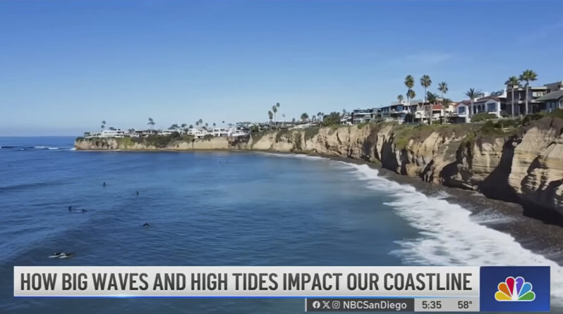
NBC 7 explores coastal erosion and the threat to people, property & infrastructure along San Diego’s coastline.
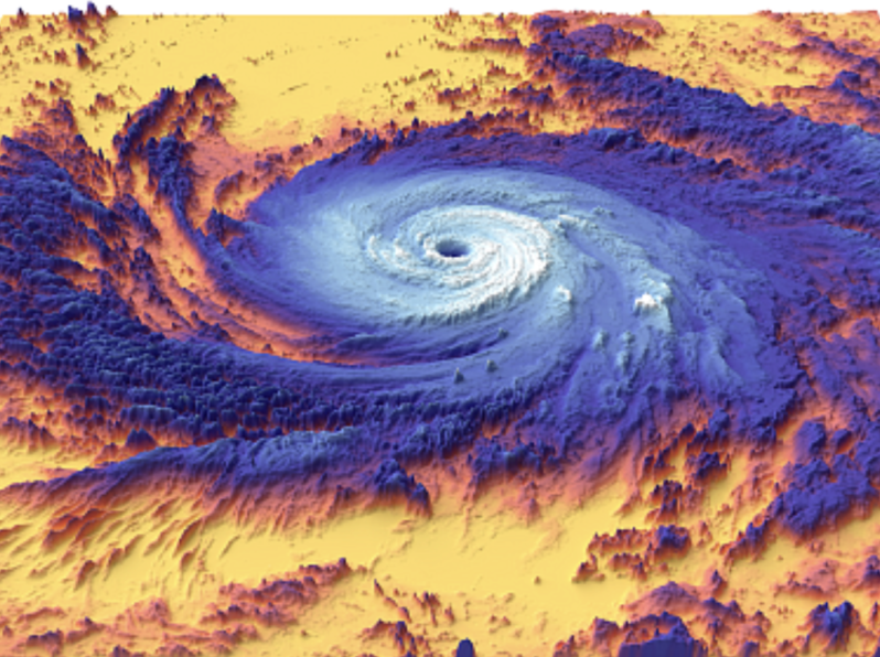
Hurricanes push heat deeper into the ocean than scientists realized, boosting long-term ocean warming, new research shows – the Conversation
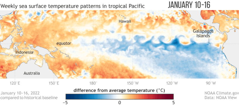
Seven years ago an exceptionally strong El Niño took hold in the Pacific Ocean, triggering a cascade of damaging changes to the world’s weather. Indonesia was plunged into a deep drought that fueled exceptional wildfires, while heavy rains inundated villages and farmers’ fields in parts of the Horn of Africa. The event also helped make 2016 the planet’s hottest year on record. Now El Niño is back…
El Niño May Break a Record and Reshape Weather around the Globe – Scientific American
Seven years ago an exceptionally strong El Niño took hold in the Pacific Ocean, triggering a cascade of damaging changes to the world’s weather. Indonesia was plunged into a deep drought that fueled exceptional wildfires, while heavy rains inundated villages and farmers’ fields in parts of the Horn of Africa. The event also helped make 2016 the planet’s hottest year on record. Now El Niño is back…