Excerpt:
Over 700,000 customers had no power in the Northeast midday Monday while major coastal flooding pushed water levels up to 4 feet above normal.
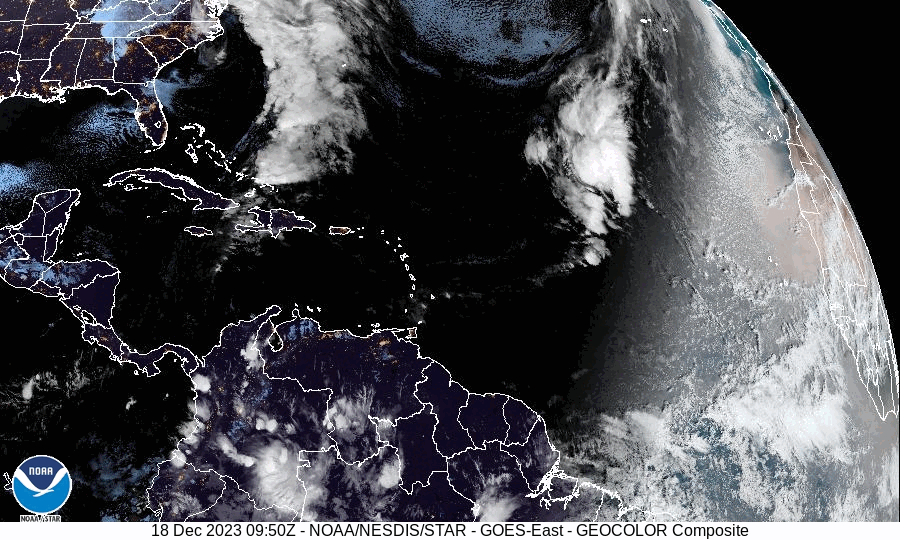
A historically intense December coastal storm is blasting the Northeast on Monday after unleashing heavy rainfall, coastal flooding and high winds from Florida to the Mid-Atlantic. More than 700,000 customers had no power midday Monday as gusts surpassed 60 mph in many locations in eastern New England.
The storm’s fierce winds and enormous waves have pushed ashore an ocean surge comparable to tropical storms and hurricanes from Florida’s west coast to southern New England. In many locations, the water level rose at least 2 to 4 feet above normal, inundating low-lying roadways.
Charleston, S.C., saw its fourth-highest storm surge on record Sunday, as did Tampa, with water levels running several feet above normal. Water levels also surged to about 4 feet above normal in Sandy Hook, N.J., and the Battery in New York City on Monday morning. Providence, R.I., also recorded a surge of about 4 feet at midday’s high tide.
The storm has also been a prolific rain producer, dumping widespread totals of 2 to 4 inches from Florida to Maine and locally considerably higher amounts. Rain accumulations reached the double digits between Charleston and Myrtle Beach, S.C., prompting a dire flash flood emergency issued for areas around Georgetown, S.C. Doppler radar estimated that between 12 and 16 inches fell, the majority within a six-hour window. Water rescues were ongoing as residents scrambled to higher ground. The National Weather Service warned that the situation was “catastrophic…”
While still rising in southern New England at midday Monday, water levels reached measurements rarely seen outside of tropical systems on Sunday into Monday morning from Florida to southern Connecticut. That’s a testament to the strength of the storm’s winds and onshore flow. Here’s a roundup of some of the maximum surges — or rises in water above normally dry land — recorded up the East Coast, organized south to north:
- 2.9 feet in Jacksonville, Fla.
- 4 feet in Charleston, S.C.
- 2.5 feet in Fort Pulaski, Ga.
- 6.4 feet near Springmaid Pier, S.C., near Myrtle Beach
- 5.2 feet in Wilmington, N.C.
- 2.5 feet in Hatteras, N.C.
- 2.3 feet in Chesapeake Channel, Va.
- 2.8 feet in Washington, D.C.
- 2.6 feet in Atlantic City
- 4.2 feet in Sandy Hook, N.J.
- 4.5 feet in The Battery, N.Y.
- 2.6 feet in Bridgeport, Conn.
- 4 feet in Providence, R.I…
NBC News (12-17-2023):
Powerful storm system moving up East Coast brings flooding to South Carolina


