Excerpt:
The next climate extremes are both predictable and unprecedented, and they’re coming on fast.
From a climate perspective, 2024 is beginning in uncharted territory. Temperatures last year broke records not by small intervals but by big leaps; 2023 was the hottest year ever recorded, and each month in the second half of the year was the hottest—the hottest June, the hottest July, all the way through to December. July was in fact the hottest month in recorded history. Already, experts predict that 2024 is likely to be even hotter. But these heat records, although important milestones, won’t hold their title for long. “Getting too excited about any given year is a bit of a fool’s game, because we’re on an escalator that’s going up,” Jason Smerdon, a climate scientist at the Columbia Climate School, told me. “We’re going to be doing this every year.”
Instead, the way to think about climate change now is through two interlinked concepts. The first is nonlinearity, the idea that change will happen by factors of multiplication, rather than addition. The second is the idea of “gray swan” events, which are both predictable and unprecedented. Together, these two ideas explain how we will face a rush of extremes, all scientifically imaginable but utterly new to human experience.
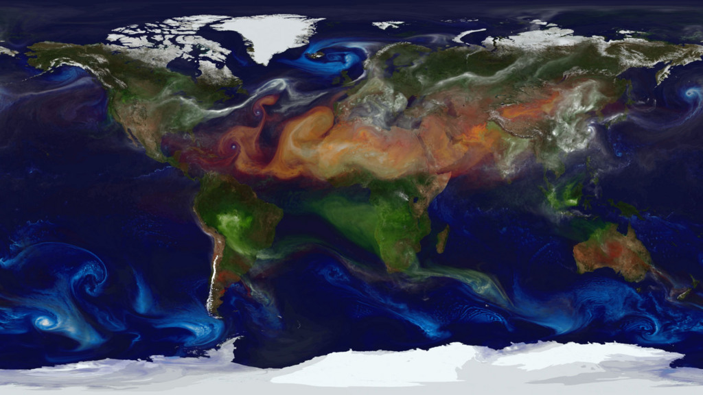
Our climate world is now one of nonlinear relationships—which means we are now living in a time of accelerating change. Tiffany Shaw, a climate physicist at the University of Chicago, has studied how upper-level jet-stream winds will accelerate under climate change; each degree Celsius of warming will increase the speed of these winds by 2 percent, likely leading to a set of unpleasant impacts, including more turbulence on flights and more accelerated storm systems. Plus, the fastest winds will speed up more than 2.5 times faster than the average wind will. Slow winds won’t change nearly as much. In other words, the fastest winds will get faster, fastest.
Again and again, climate scientists are discovering these nonlinear relationships in the climate system. They recently found one for snow: Once warming hits a certain threshold, the snowpack in the Northern Hemisphere is set to diminish in nonlinear fashion with each additional degree of warming, disappearing faster and faster. Meanwhile, the already moist air in the tropics can hold more moisture because of warmer temperatures, and scientists have found that this relationship also responds nonlinearly to warming: With each additional degree of heat, wet places will get wetter in an accelerating fashion, leading to torrential downpours and flooding. In an offense to sensitive ears everywhere, scientists call this the “moist-gets-moister” response.
“As we push toward a warmer world, with this nonlinear multiplicative factor, we’re pushing into this realm of things we haven’t seen before,” Shaw told me. “It’s not just inching toward more breaking records, but shattering them. It’s something that we should expect…”


