Excerpt:
How climate change is threatening one of the country’s most famous roadways.
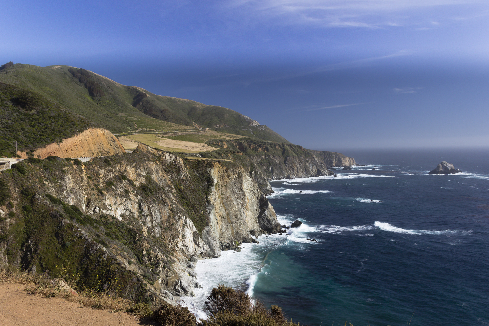
On the afternoon of March 30th, Magnus Torén, the director of the Henry Miller Memorial Library, in Big Sur, California, had a plane to catch, the first leg of a long-planned vacation in northern India. Shortly after three o’clock, he and his wife, Mary Lu, left their house in Big Sur and drove north along Highway 1 toward Monterey, where Torén planned to get a bus to San Francisco International Airport. But shortly after crossing Bixby Creek Bridge, the ravine-spanning landmark featured in the opening credits of the HBO series “Big Little Lies,” they saw a truck pulled over with its lights flashing. After a rainy weekend, a piece of the southbound lane of Highway 1 had slid into the sea. “It looked like a big shark had taken a bite out of it,” Torén later recalled.
The couple figured that Caltrans, the California state transportation authority, was likely to close the road. Mary Lu, who was driving, steered carefully past the crumbled edge of the highway, staying in the northbound lane, so that her husband would make his flight. They were on a stretch of coast with no cell service, on the sole road that gives access to their region.
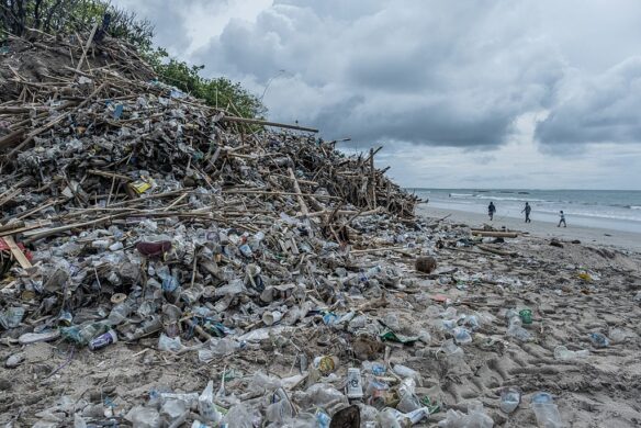
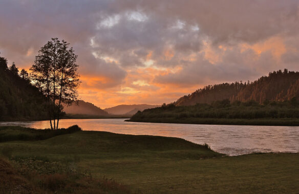
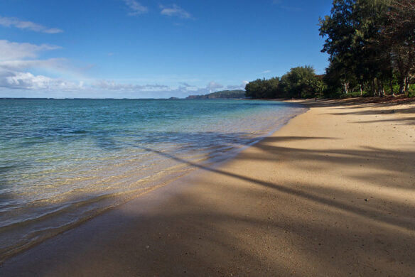
There are no official borders to Big Sur, a seventy-five-mile span of the California coast which, because of both challenging topography and strict land-use regulations, is one of the few remaining shoreline areas between Los Angeles and San Francisco without wide-scale development. Since the winding ribbon of Highway 1 opened, in 1937, driving the route—past vistas of the Santa Lucia mountains flanked by redwood groves and moody views of the Pacific—has become a rite of passage for tourists from around the world. Mythologized by Jack Kerouac, Richard Brautigan, and the photographer Ansel Adams, the landscape of Big Sur has a storied place in the national imagination. Henry Miller, who lived there for eighteen years, wrote a memoir titled “Big Sur and the Oranges of Hieronymus Bosch,” in which he described “skies of pure azure and walls of fog moving in and out of the canyons with invisible feet.” But since January, 2023, when, after heavy rains, a major landslide on Highway 1 blocked access to most of Big Sur from the south, it’s been impossible to take the iconic road trip through the landscape in its entirety. Two more landslides on the southern portion of Highway 1 earlier this year, caused by heavy rains, further limited access.
After the collapse that Torén witnessed near Big Sur’s northern end on March 30th, the two thousand or so residents who live in Big Sur found themselves almost entirely cut off in both directions for more than a month. The state parks were closed; the McWay waterfall made its plunge from a cliff to the ocean without any tourists photographing themselves in front of it; and the monks at the New Camaldoli Hermitage reached new levels of reclusion. Residents rode horses and went jogging along the normally busy highway; they pulled over at empty turnouts to look at whales. But beneath it all was a simmering anxiety: tourists are the foundation of the economy here; without them, most of the people in the region were out of work. “One has to be a little sensitive to the people living paycheck to paycheck,” Torén said. “But, for those of us who can survive these periods of isolation, then, of course, they are the best times of them all…”