‘The sea came in and took it all away’: the Colombian beach resort facing a ‘public calamity’ – the Guardian
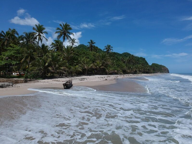
In the past 10 years, Palomino’s coastline has receded between 47 and 50 metres, threatening the livelihoods of restaurateurs, hoteliers and all those who work in the resort…
He bought his dream home. In 10 years, it could fall into the ocean – the Washington Post
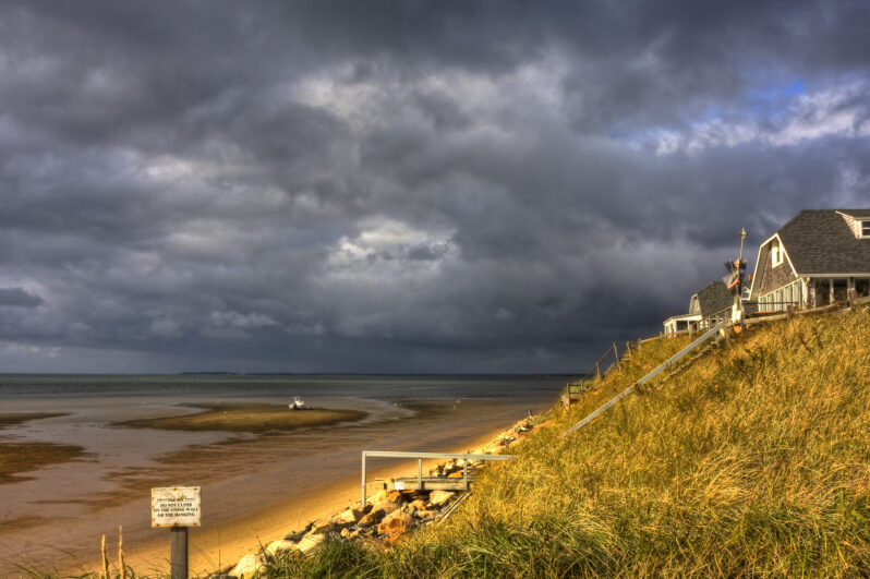
David Moot secured a three-bedroom, two-bathroom bungalow with sweeping views of the Atlantic Ocean for just under $400,000 — but its days are numbered…
Climate Change Made Hurricane Milton Stronger, With Heavier Rain, Scientists Conclude – Inside Climate News

A rapid analysis of rainfall trends and Gulf of Mexico temperatures shows many similarities to Hurricane Helene less than two weeks earlier…
One block on the Outer Banks has had three houses collapse since Friday – the Washington Post
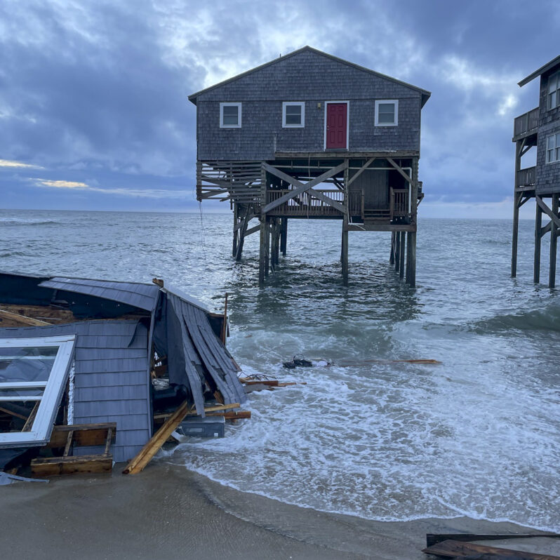
In Rodanthe, N.C., 10 houses have fallen into the ocean since 2020 in an erosion-plagued stretch of the Outer Banks…
Where the sea wall ends | Interactive Feature – the Washington Post
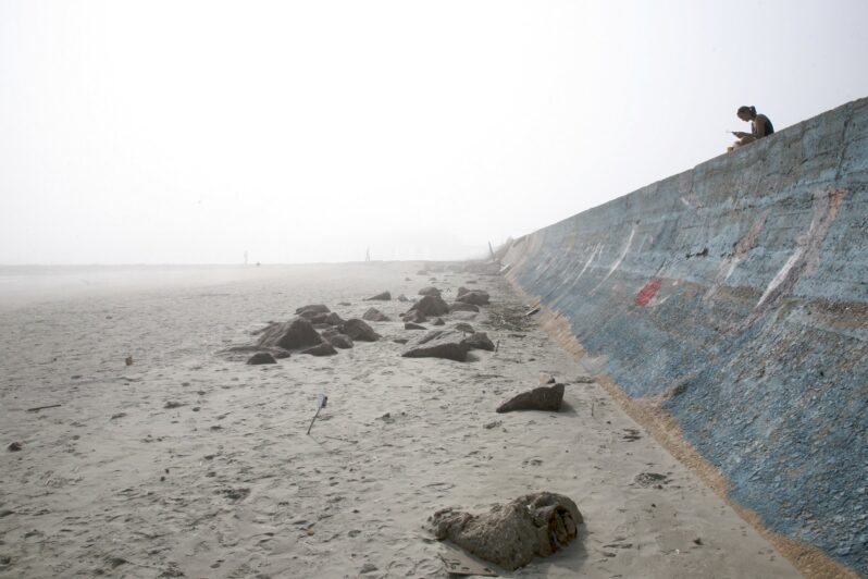
At a time of fast-rising seas, the ocean is eating away at this barrier island and others like it. But humans, who have held their ground here for over a century, are planning new condos…
How Close Are the Planet’s Climate Tipping Points? – the New York Times
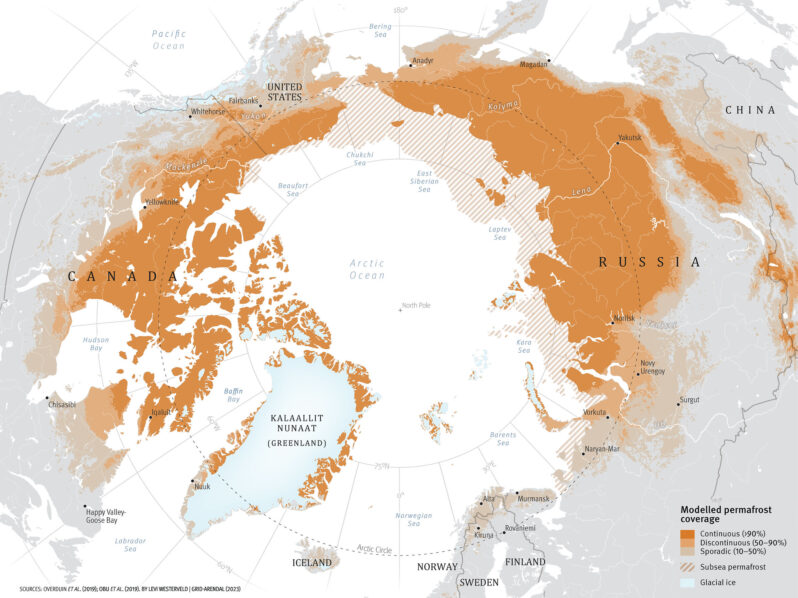
Earth’s warming could trigger sweeping changes in the natural world that would be hard, if not impossible, to reverse…
In the South, Sea Level Rise Accelerates at Some of the Most Extreme Rates on Earth – Inside Climate News
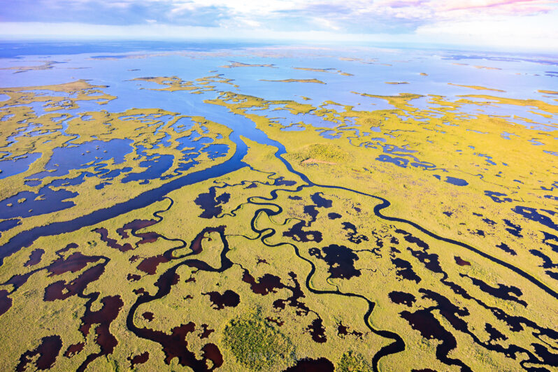
The surge is startling scientists, amplifying impacts such as hurricane storm surges and nuisance flooding and testing mitigation measures like the Resilient Florida program…
Mangrove Trees Are on the Move, Taking the Tropics with Them – Scientific American

As the climate warms, mangroves are migrating farther poleward, transforming the coast as they go…
Rancho Palos Verdes landslide is creating a new beach. ‘It’s unreal’ – the Los Angeles Times
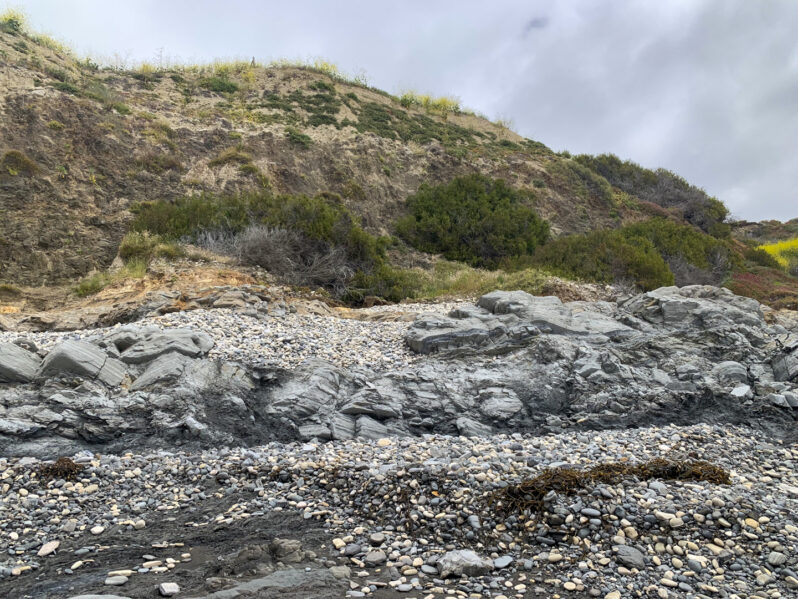
There’s an entirely new coastline in Rancho Palos Verdes…
