Excerpt:
A rapid analysis of rainfall trends and Gulf of Mexico temperatures shows many similarities to Hurricane Helene less than two weeks earlier.
A preliminary analysis from the team of scientists at World Weather Attribution indicates the rainfall from Hurricane Milton across Florida was 20 percent to 30 percent heavier and rainfall intensity was about twice as likely as it would have been in the climate of the late 19th century.
Similarly, climate change is responsible for a 40 percent increase in the intensity of storms like Milton, located in the eastern Gulf of Mexico near the Florida coast, the analysis found. Effectively, Milton would have made landfall as a Category 2 storm in an earlier climate. Instead, it came onshore Wednesday night near Siesta Key south of Sarasota as a Category 3.
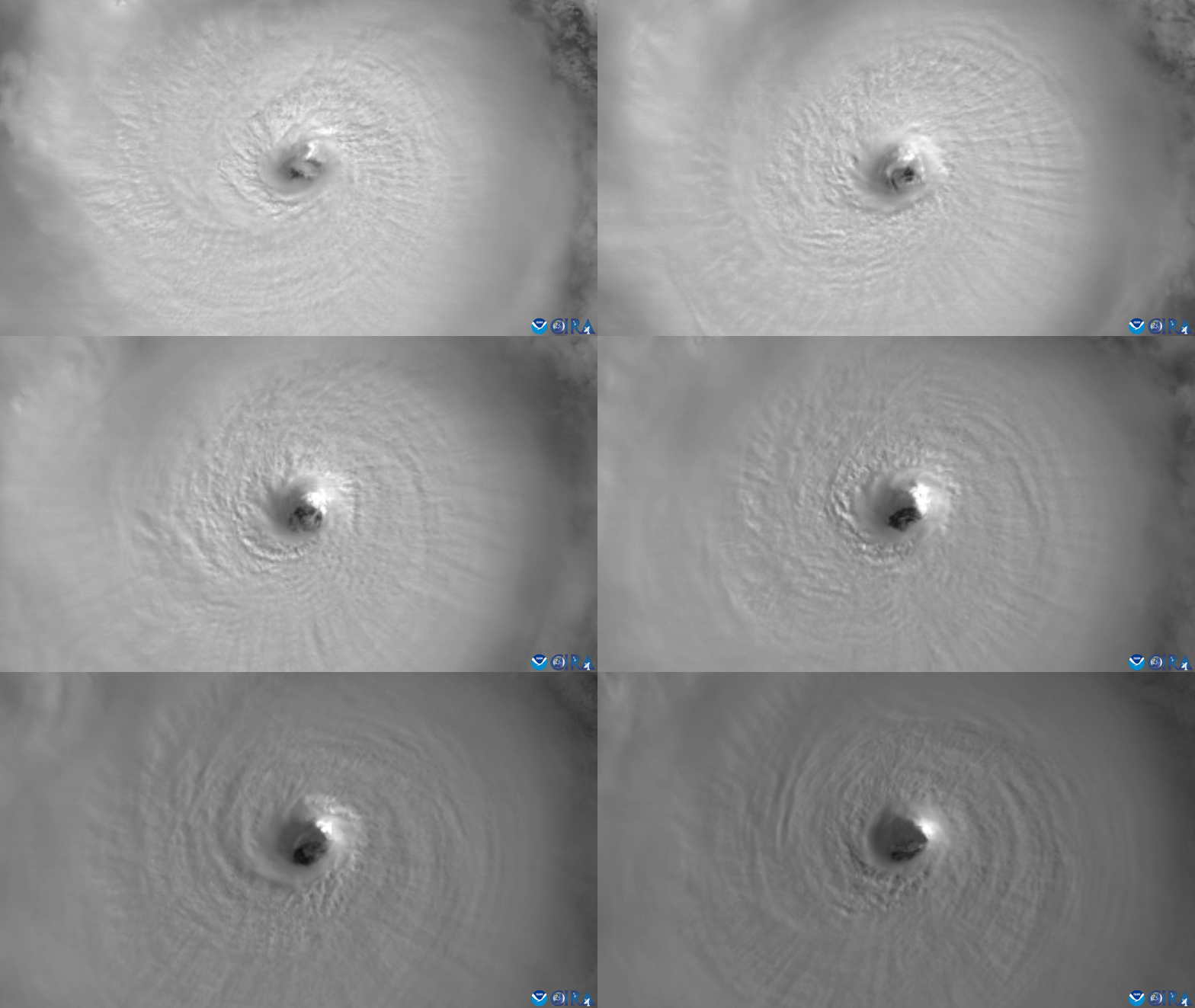
Like Hurricane Helene 12 days earlier, Milton met the scientific criteria for rapid intensification—an increase in maximum wind speed of 35 miles per hour in 24 hours. But Milton intensified at a truly staggering rate while over the southern Gulf of Mexico, 95 miles per hour in 24 hours. Only two other storms—Wilma (2005) and Felix (2007)—intensified faster in the Atlantic basin, the area that includes the Gulf of Mexico, Caribbean Sea, and open Atlantic Ocean.
This extreme rapid intensification is projected to happen more often in today’s modern, warming climate. Seeing that data in real time led veteran South Florida meteorologist John Morales to choke up momentarily during his regular broadcast on NBC6 in Miami (WTVJ) on Monday as he described Milton’s rapid intensification—an emotionally gripping moment that has now been shown repeatedly across the internet.
Jeff Berardelli, the chief meteorologist and climate specialist at the NBC station in Tampa Bay (WFLA), understood just how unusual such a dramatic drop in atmospheric pressure was at that moment. “I know John well and was surprised. He’s not an emotional guy, usually serious and buttoned up,” Berardelli said.
But when it came to the data, both he and Morales were well aware of the forces being driven by climate change.“I was not surprised one bit,” Berardelli said. “It used to be that we meteorologists wondered if a storm would rapidly intensify. Now, we expect it to because the oceans are rip-roaring hot, due to climate change…”
Additional Reading:
Hurricane Threat Poised to Keep Rising, Experts Warn
Excerpt:
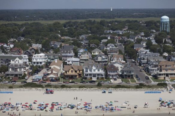
Many coastal cities are still unprepared for the extremes ahead because they are designed for a climate that no longer exists.
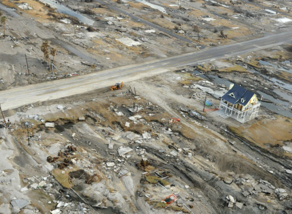
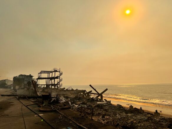
As people in parts of the southeastern United States try to pick up the pieces of their broken homes, lives and dreams after the twin gut punches delivered by Hurricane Helene and Hurricane Milton, climate scientists have some unwelcome news. Global warming, along with reductions of sulfate aerosol pollution, is likely to fuel even more powerful and destructive storms in the years and decades ahead.
Every 1 degree Celsius of warming increases maximum winds in the strongest storm by about 12 percent, which equates to a 40 percent increase in wind damage, said climate scientist Michael Mann, director of the Center for Science, Sustainability and the Media at the University of Pennsylvania.
“We can expect proportionally larger storm surges, rainfall and flooding,” he said. “One recent study suggests that human-caused warming boosted the Helene-related flooding in the southeastern U.S. by 40 percent. All of this continues to increase as long as the warming continues until our carbon emissions reach zero…”

