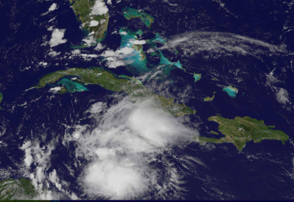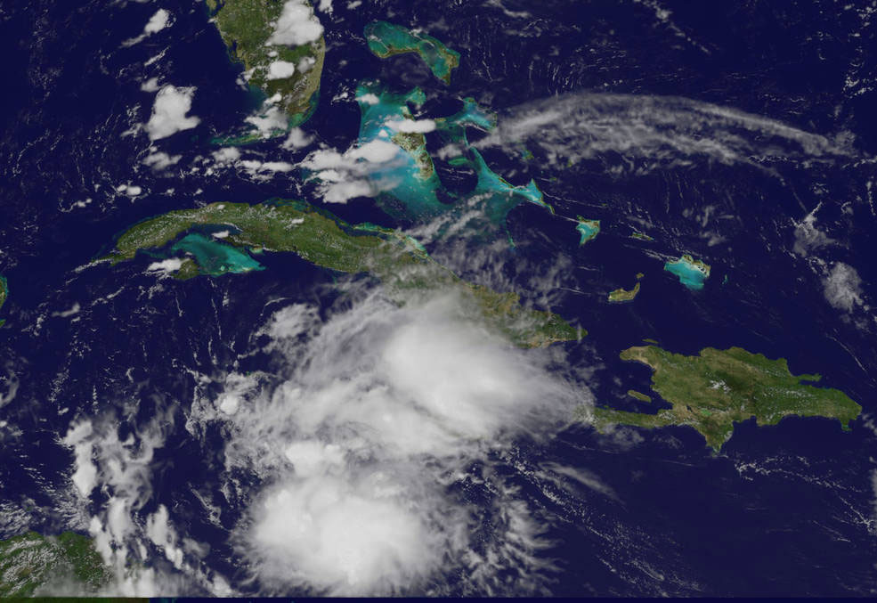
NOAA’s GOES-East satellite captured a visible image of Earl at 1:30 p.m. EDT on Aug. 2, 2016. Earl is a small storm. An area of strong thunderstorms was forming near or over the center.
Credits: NASA/NOAA GOES Project.
By Rob Gutro NASA’s Goddard Space Flight Center;
The fifth tropical cyclone of the Atlantic Ocean hurricane season formed today in the Caribbean Sea. NOAA’s GOES-East satellite provided a look at the storm as hurricane-hunter aircraft confirmed a closed circulation.
Tropical Storm Earl formed in the Caribbean Sea and is forecast to move west over the next couple of days. As a result, the government of Honduras has issued a tropical storm warning for the entire north coast of Honduras from Cabo Gracias a Dios westward to the Honduras-Guatemala border including the Bay Islands.
In addition, a hurricane watch is in effect for the east coast of Mexico’s Yucatan Peninsula from Punta Allen southward to the Belize-Guatemala border.
At 12 p.m. EDT (4 p.m. UTC) on Tuesday, Aug. 2, 2016, the center of Earl was located near 16.3 degrees north latitude and 80.2 degrees west longitude.
NOAA’s National Hurricane Center said that Earl is moving toward the west near 22 mph (35 kph), and this motion with a decrease in forward speed is expected during the next couple of days. On this track, the center of Earl will be moving very close to the north coast of Honduras late tonight and Wednesday and approach Belize and the Yucatan peninsula late Wednesday.
Maximum sustained winds are near 45 mph (75 kph) with higher gusts. Some additional strengthening is forecast before Earl reaches the Yucatan Peninsula. The minimum central pressure estimated from an Air Force plane was 1,001 millibars.
NOAA’s GOES-East satellite captured a visible image of Earl at 1:30 p.m. EDT (5:30 p.m. UTC). Earl is a small storm, as tropical-storm-force winds extend outward up to 80 miles (130 km) from the center. The GOES-East image showed that an area of deep convection (rising air that forms the thunderstorms that make up a tropical cyclone) is forming near or over the center. The image was created by the NASA/NOAA GOES Project at NASA’s Goddard Space Flight Center in Greenbelt, Maryland.
For updates on Earl, visit the NHC website
Original Article, NASA’s Goddard Space Flight Center (08-02-2016)


