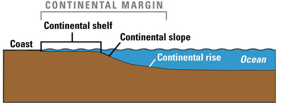
Idealized diagram of a continental margin, showing the shelf, slope, and rise. Image and caption: USGS
Excerpts;
The East Coast of the United States isn’t the first place that comes to mind as being at risk of tsunamis, but new sonar maps are now helping to show that these risks do exist.
For about the past five years, researchers at the U.S. Geological Survey, along with other governmental and academic partners, have been gauging the potential for tsunamis generated by landslides in submarine canyons in the mid-Atlantic to strike the U.S. Atlantic and Gulf of Mexico coasts.
This study was requested and funded by the U.S. Nuclear Regulatory Commission (NRC), which is concerned about the potential impact of tsunamis on new and existing nuclear power plants.
Recent devastating tsunamis in Samoa (2009), Chile (2010), and Japan (2011) offer sober reminders of the importance of accurately identifying and characterizing the natural events, or “sources,” that can generate tsunamis…
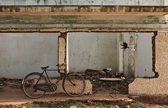
Tsunami ruins, Sri Lanka. Photo source: ©© Markus Spring

