Behind the Story: Land Reclamation in the Maldives – the Pulitzer Center

Most visitors come to the Maldives for its resorts and pristine beaches. For Pulitzer Center grantee Jesse Chase-Lubitz, there’s a story behind that sand…The Maldives face an existential threat from sea level rise, and rebuilding the coastline with dredged sand has become a popular solution. But a series of activists on the 1,200-island archipelago are questioning the tradeoffs…Through interviews with taxi drivers, hotel owners, politicians, and scientists, Chase-Lubitz found that land reclamation is not a one-size-fits-all policy…
How Saving The Maldives May Actually Destroy It – the Medium
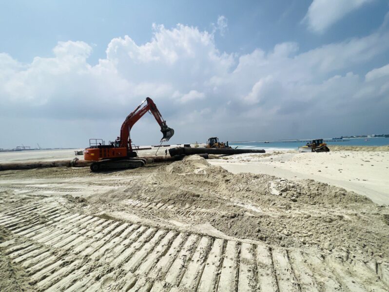
Just imagine waking up one day to find the sea that was once at your doorstep replaced by a fake 130-meter beach. This is the new reality for the residents of Addu, the southernmost atoll of the Maldives. But this shocking transformation isn’t new — it’s a desperate move to keep the country above water and thriving…
Maldives to battle rising seas by building fortress islands – PHYS.ORG

Rising sea levels threaten to swamp the Maldives and the Indian Ocean archipelago is already out of drinking water, but the new president says he has scrapped plans to relocate citizens. Instead, President Mohamed Muizzu promises the low-lying nation will beat back the waves through ambitious land reclamation and building islands higher—policies, however, that environmental and rights groups warn could even exacerbate flooding risks…
Satellite Image Shows Construction of World’s First Floating City – Newsweek

A floating city, considered the world’s first, is starting to take shape in the turquoise waters of the Indian Ocean…Satellite imagery provided exclusively to Newsweek by Maxar Technologies shows the state of construction of the Maldives Floating City, a development of modular floating platforms that is scheduled to be completed in 2027….
Why Time Is Running Out Across the Maldives’ Lovely Little Islands – the New York Times
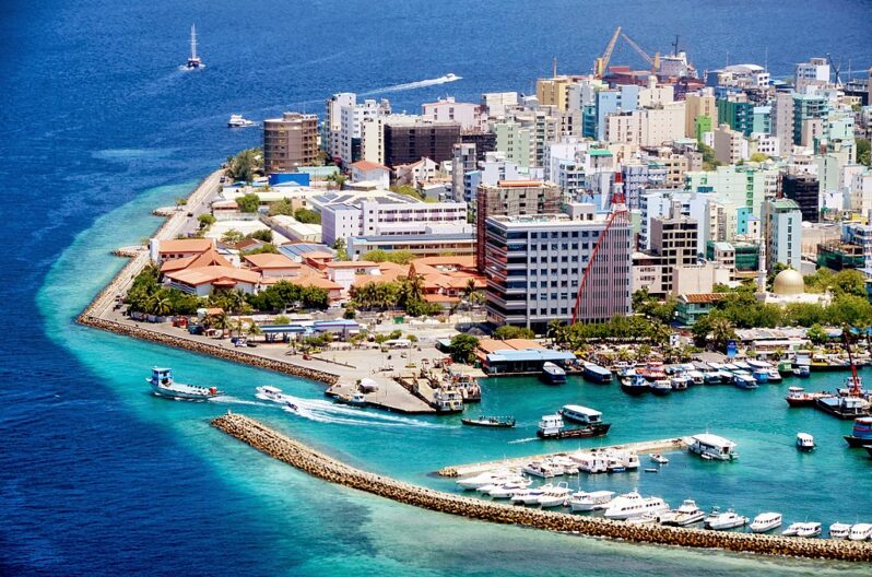
Global tourism brought a modern economy to the country’s thousand islands. For many Maldivians, the teeming capital beckons…
New islands are being built at sea – but they won’t help millions made homeless by sea-level rise – the Conversation

Dubai’s famous Palm Jumeirah is not the only man-made island to have emerged from the sea this century. Over the past 20 years, many islands have been built to accommodate both tourists and well-heeled residents – especially in the Arabian Gulf states and China..
Hurricane Idalia shows nature may provide the best shoreline protection – NPR
When Hurricane Idalia slammed into Florida’s Gulf Coast in August (2023), one of the hardest hit areas was Cedar Key. A nearly 7-foot storm surge battered the small fishing community…(NOAA) says Idalia caused an estimated $3.6 billion in damage…But on Cedar Key, when the water receded, scientists found some good news amid all the damage. Nature-based “living shoreline” projects built to protect roads, buildings and other structures were relatively undamaged…
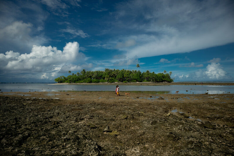
The Marshall Islands Aren’t Giving In to Sea Level Rise – Hakai Magazine
The precariously placed island nation has put together a comprehensive—if expensive—plan to survive sea level rise…
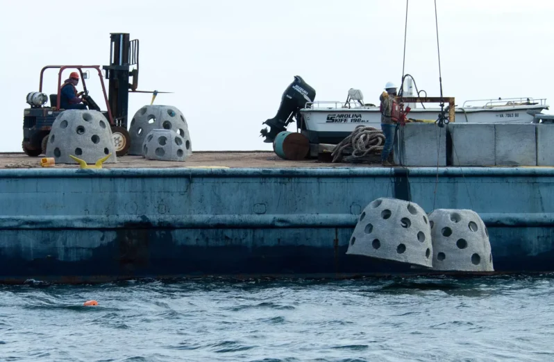
Ecosystems as Infrastructure: A New Way of Looking at Climate Resilience – Yale Environment 360

Landscape architect Kate Orff works on rebuilding natural systems to help communities and cities reduce their climate risks. Places with interwoven ecological systems, she says, are more resilient and better able both to respond to emergencies and adapt for the future….