This Isn’t Your Grandparents’ Summer Heat – Scientific American

The face of summer is transforming, as people today face more frequent, longer-lasting and hotter heat waves than they did several decades ago…
A Hidden Threat – the Washington Times
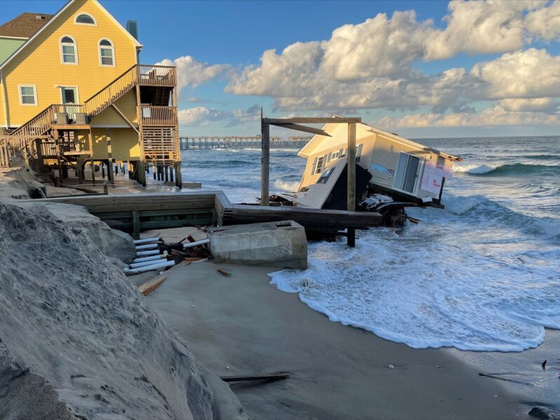
Fast-rising seas could swamp septic systems in parts of the South…
The ‘Doomsday Glacier’ is melting faster than scientists thought – Grist Magazine
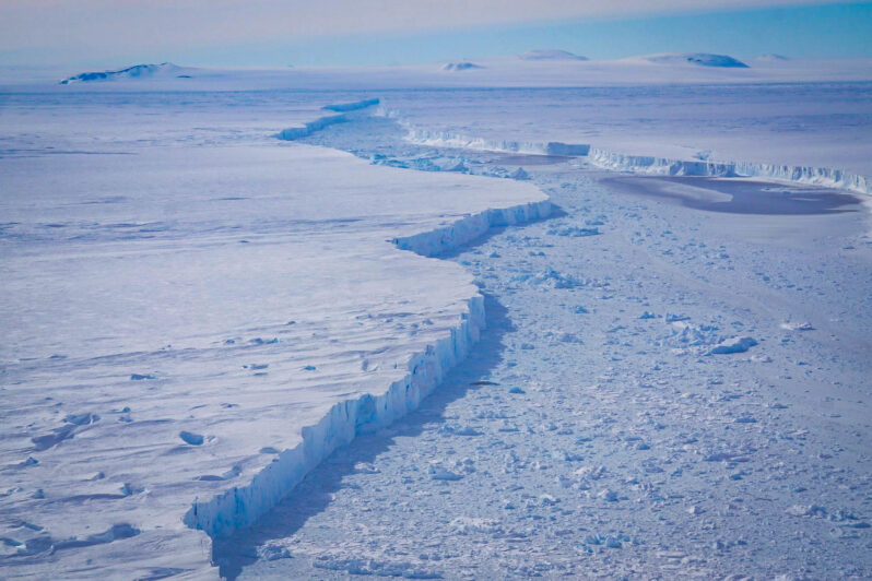
Miles of seawater are flowing under Thwaites Glacier, undermining an Antarctic ice sheet and threatening rapid sea level rise….
In Two New Studies, Scientists See Signs of Fundamental Climate Shifts in Antarctica – Inside Climate News
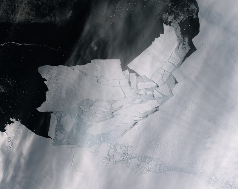
A steep decline of Antarctic sea ice may mark a long-term transformation in the Southern Ocean, and seawater intrusions beneath the Thwaites Glacier could explain its melting outpacing projections…
Denial and Deception – Gary Griggs
Earth’s temperature continues to climb to uncharted levels. Two weeks ago, NOAA announced that April was the 11th month in a row that set a new record for the highest monthly temperatures. While there are many enviable records, in sports for example, when it comes to global temperatures, this is not a record anyone wants to own. While 2023 was the hottest year on record since we began tracking temperatures nearly 150 years ago, there is a high probability based on the first four months of this year that 2024 will surpass 2023. Another statistic in which we cannot rejoice…
Where Seas are Rising at Alarming Speed – the Washington Post
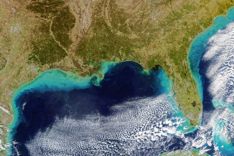
One of the most rapid sea level surges on Earth is besieging the American South, forcing a reckoning for coastal communities across eight U.S. states…At more than a dozen tide gauges spanning from Texas to North Carolina, sea levels are at least 6 inches higher than they were in 2010 — a change similar to what occurred over the previous five decades…
Add sand, lose sand, repeat. The climate conundrum for beaches – E&E News
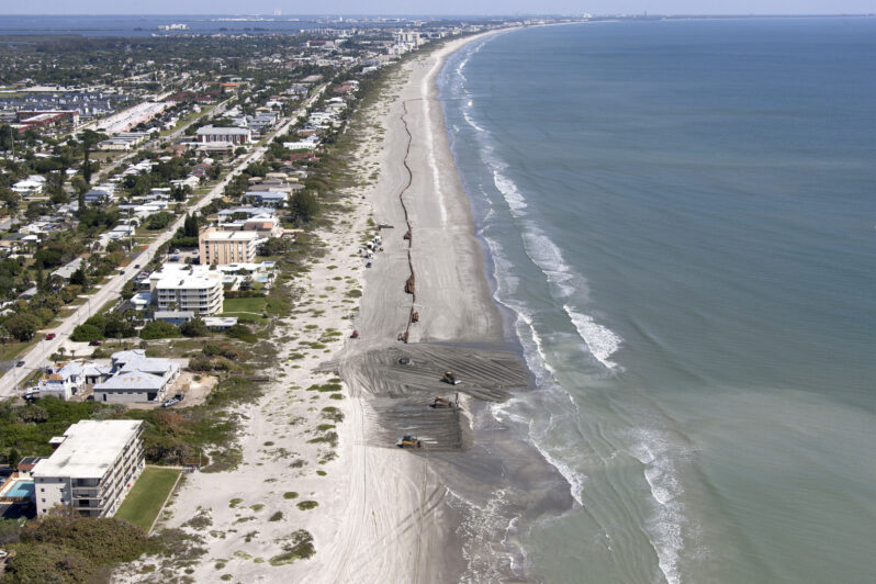
Rebuilding beaches after hurricanes is costing U.S. taxpayers billions of dollars more than expected as the Army Corps of Engineers pumps mountains of sand onto storm-obliterated shorelines…
Climate change is rewiring fish brains — and probably ours, too – Grist Magazine

Acidifying oceans are leading to sensory loss in fish. Scientists fear people might be next…
A climate Q&A with coastal geologist Gary Griggs – Pacifica Tribune

A startling rise in sea-surface temperatures suggests that we may not understand how fast the climate is changing…
