Drones used to map climate change in Zanzibar
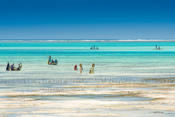
In Zanzibar, which is a series of islands off the east coast of Africa, a group is using drones to map the effects of rising sea levels and global temperatures in an effort to combat local climate change.
Did rapid sea-level rise drown fossil coral reefs around Hawaii?

Investigations to predict changes in sea levels and their impacts on coastal systems are a step closer, as a result of a new international collaboration.
Warm waters tripled the amount of ice lost in these Antarctic glaciers — and that’s bad for sea level rise
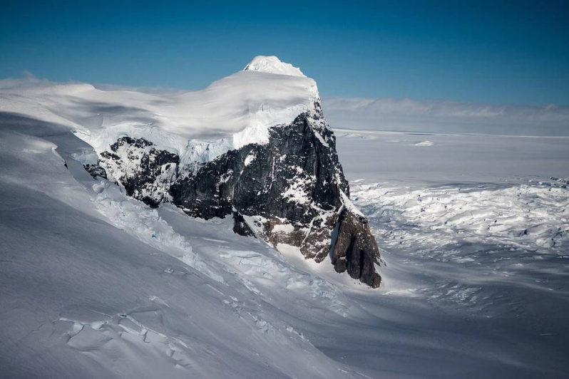
Another glacier in Western Antarctica has been cracking from the inside out, producing another massive iceberg — four and a half times the size of Manhattan — this week.
Despite Rising Seas and Bigger Storms, Florida’s Land Rush Endures
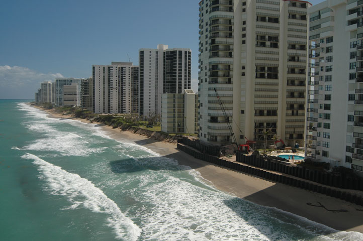
Florida was built on the seductive delusion that a swamp is a fine place for paradise.
NASA/UCI Find Evidence of Sea Level ‘Fingerprints’
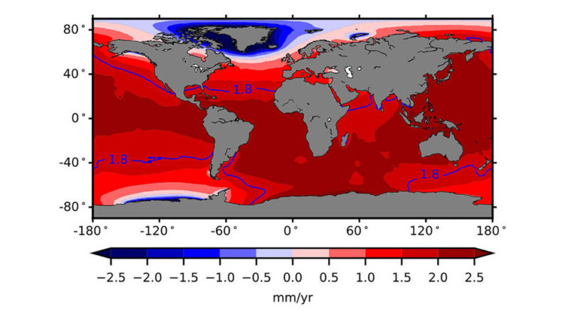
Researchers have reported the first detection of sea level “fingerprints” in ocean observations: detectable patterns of sea level variability around the world resulting from changes in water storage on Earth’s continents and in the mass of ice sheets. Scientists had a solid understanding of the physics of sea level fingerprints, but have never had a direct detection of the phenomenon until now.
East Coast of the USA is slowly sinking into the sea, study shows
The East Coast of the United States is threatened by more frequent flooding in the future. According to this study, the states of Virginia, North Carolina, and South Carolina are most at risk. Their coastal regions are being immersed by up to three millimeters per year , mong other things, due to human intervention.
The Next Houston
Even as Harvey lingers in the Gulf Coast, dumping rain on an already deluged region, the Atlantic hurricane season continues, and threatens to bring more nasty storms in short order. In the central Atlantic, Irma is some 3,000 miles southeast of Miami Wednesday afternoon, and is expected to become a hurricane later this week.
Climate Refugees: Kiribati, Video
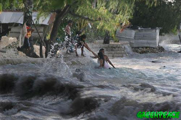
Scientists have said that the island nation, along with other low-lying Pacific nations, could be uninhabitable within decades. Sea level is rising 50 percent faster than it was 20 years ago and that is a real cause for alarm, so it is not a future thing we are really seeing that acceleration…
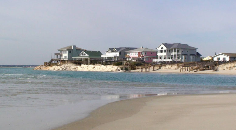
On North Carolina’s Outer Banks, A Preview Of What Might Be In Store For Mass. Barrier Beaches
The first truly global disaster resulting from climate change may come from rising sea levels. It’s a problem we will share with every coastal community on every continent.