Can the ‘sand motor’ save West Africa’s eroding coast? – Grist Magazine
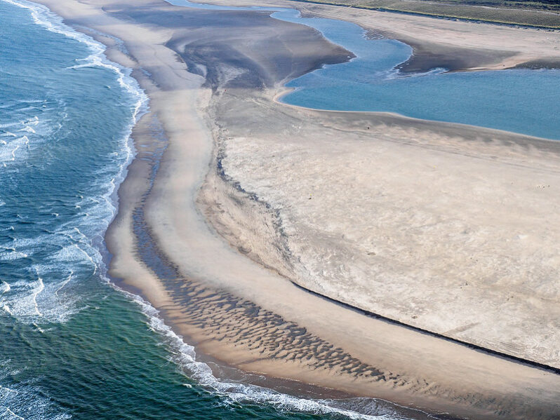
As sea levels rise, engineers are using massive Dutch-inspired sand sculptures to protect shorefront settlements…It’s called the “sand motor,” and it comes from the Netherlands, a low-lying nation with centuries of experience in coastal protection…
Slipping away: Erosion forces Olympic National Park to take a hard look at Kalaloch Lodge – the Seattle Times

Kalaloch is the third-most-visited of Olympic National Park’s nine districts…Kalaloch Lodge, run on a concessionaire’s contract by the global entertainment/hospitality company Delaware North…has grown into a beachfront hotel with a restaurant overlooking the ocean, a small grocery store, a campground and nearly 50 cabins sitting on the same bluffs where the Beckers built their rustic resort 95 years ago. Except there’s less bluff. And less of it every year….
St. Johns County receives $59 million for coastal protection, ‘managed retreat’ – First Coast News
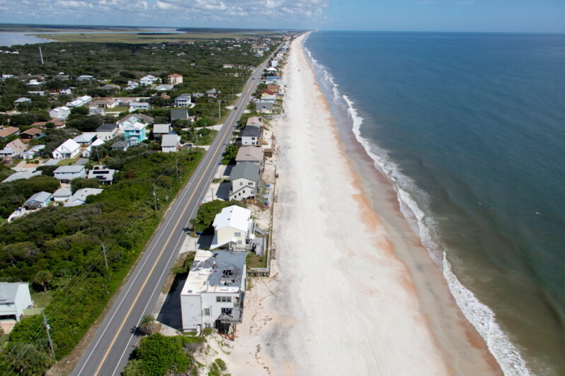
Other funded projects include a railroad overpass in Nocatee and erosion control in North Ponte Vedra Beach.
With Gov. Ron DeSantis putting pen to paper in signing the state’s budget for the fiscal year Thursday, St. Johns County received $59 million — the largest amount of state appropriations the county has ever received and far more than the $12.4 million it got last year…
In the Bahamas, a Constant Race to Adapt to Climate Change – the New York Times
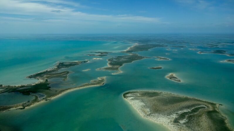
Rising seas and the ongoing threat of hurricanes and storm surges have forced the Caribbean nation to become a laboratory for climate adaptation.
At the United Nations climate summit in Egypt last year, Prime Minister Philip Davis of the Bahamas emerged as one of the most impassioned speakers among the more than 100 heads of state in attendance.
“We have to believe that a safer, better future is possible,” he told the gathering. “We believe that action — real, concerted action — can save the planet and save our human race…”
Letting the Sea Have Its Way – Hakai Magazine
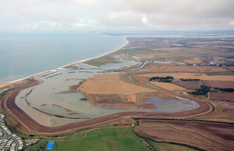
On May 10, a four-bedroom house perched on the beach of a North Carolina barrier island in the town of Rodanthe collapsed into the ocean. It was not the victim of a violent hurricane strike or storm surge. Rather, a low-pressure system coupled with a high tide drew ocean waves onto the shoreline, leaving heaps of sand on the prophetically named Ocean Drive. Then—in that viral video moment—the water gently pulled the house loose and set it to bob upon the sea. It was not the first house—this year! that day!—nor will it be the last.This is reality in the 21st century…
Life’s no beach for Thais affected by sand mining – Mekong Eye
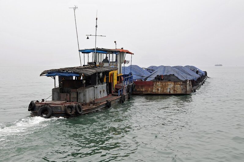
Illegal sand mining has been an ongoing issue in Thailand’s section of the Mekong River due to fragmented governance and “influential people.”
Crowds of locals and tourists are drawn to Had Hae – a sandy beach that emerges when the level of the Mekong River falls in That Phanom district in Thailand’s northeast Nakhon Phanom province, which borders Laos.
The beach, which looks like an island in the middle of the river, is filled with visitors and local people’s makeshift stalls selling food and other goods during the summer…
Mekong Delta pays a high price from sand mining – Mekong Eye

The need for sand to build roads and infrastructure in Vietnam charges ahead with few restraints as land and houses are lost.
The only traces of Long Phu Thuan, an islet in the Mekong River in Vietnam’s Dong Thap province, can now only be found in old maps.
Much of the islet belonged to Le Van Phi, a 70-year-old farmer. Back in 1976, he explored the islet and converted 0.4 hectares of it into farmland. He grew corn, soybeans and chili peppers in the dry season, and rice in the flooding season…
Buying out threatened oceanfront homes is not a crazy idea – Coastal Review
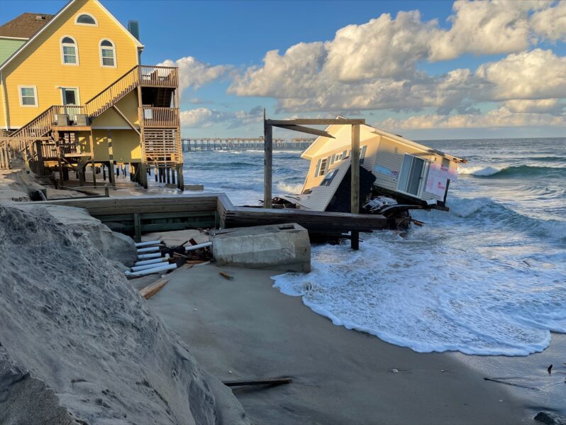
The oceanfront shoreline of Rodanthe has one of the highest erosion rates on the U.S. East Coast (recently upwards of 20 feet per year). Many homes that were initially constructed well back from the beach are now at risk of constant flooding and imminent collapse. A typical response to this erosion in Dare County (and most coastal communities) would be the implementation of a beach nourishment project. It is unclear whether this is practical for Rodanthe, as the geologic setting is problematic…
Why are Tunisia’s beaches disappearing and what does it mean for the country? – Reuters
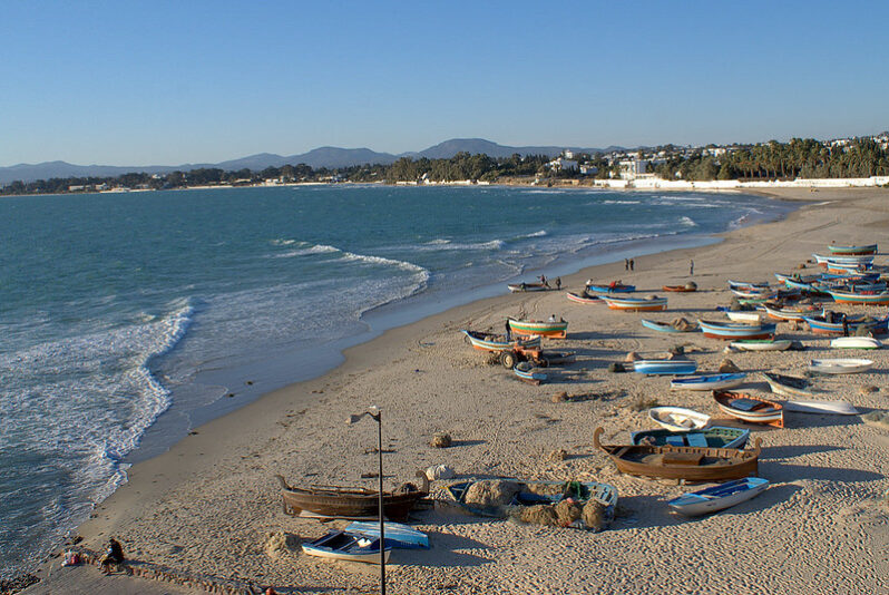
Rising sea levels are causing Tunisia’s beaches to gradually disappear. This is making life hard for the country’s tourism and fishing industries.
The Maghreb – made up of Morocco, Tunisia, Algeria and Libya – is more affected by coastal erosion than any region outside South Asia, the World Bank found in a 2021 study. Among these countries, Tunisia has had the highest erosion rates in the last three decades, averaging almost 70cm a year, it found…
