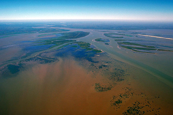

The delta of the Atchafalaya River on the Gulf of Mexico. View is upriver to the northwest. Photo and caption: ©© U.S. Army Corps of Engineers
By NOAA
NOAA-supported scientists found the size of this year’s Gulf of Mexico dead zone to be 6,765 square miles.
Researchers had predicted the potential for a record sized dead zone between 8,500 and 9,421 square miles due to the spring flooding of the Mississippi River and the associated large loads of nutrients running off into the Gulf, but strong winds and waves associated with Tropical Storm Don disrupted the western portion of the dead zone.
The research cruise, led by Nancy Rabalais, Ph.D., executive director of the Louisiana Universities Marine Consortium, found this year’s dead zone to be nearly equal to the land area of the state of New Jersey.
The average size of the dead, or hypoxic, zone over the past five years has been 6,688 square miles, very close to this year’s measurement and much larger than the 1,900 square mile goal set by the Gulf of Mexico/Mississippi River Watershed Nutrient Task Force. Last year’s dead zone measured approximately 7,722 square miles.
In addition to surveys in the traditional region of the dead zone, Rabalais’ research team documented a large area of hypoxia east of the Mississippi River in mid-July.
“Although Tropical Storm Don disrupted part of the hypoxic zone, our monitoring over the past several months indicated the spring floods expanded the dead zone region,” said Rabalais. “However, sampling the hypoxic bottom layer on a ship rolling in 6-10 foot waves presented safety and sampling issues that interfered with precise measurements at some stations. For these reasons, the size of the measured hypoxic zone was smaller than just before the storm, and is probably under-estimated.”

The dead zone is fueled by nutrient runoff from agricultural and other human activities in the Mississippi River watershed, which stimulates an overgrowth of algae that sinks, decomposes and consumes most of the life-giving oxygen supply in bottom waters. The hypoxic zone off the coast of Louisiana and Texas forms each summer and threatens valuable commercial and recreational Gulf fisheries.
These fisheries are critical to the economy. For example, in 2009, the dockside value of commercial fisheries in the Gulf was $629 million. Nearly three million recreational fishers, taking 22 million fishing trips, further contributed more than $1 billion to the Gulf economy.
“Despite fluctuations in size due to each year’s weather conditions, these chronic, recurring hypoxic zones every summer represent a significant threat to Gulf ecosystems,” said Robert Magnien, Ph.D., director of NOAA’s Center for Sponsored Coastal Ocean Research. “Until we achieve a substantial reduction in nutrient pollution from the Mississippi River watershed, we will continue to experience extended periods of time each year when critically-needed habitat is unavailable for many marine organisms.”
Mississippi Flood Impacts On The Gulf Of Mexico, NASA
Major Flooding On The Mississippi To Cause Large Hypoxic Zone, NASA


