By Rob Gutro / NASA’s Goddard Space Flight Center;
Two NASA satellites captured visible and infrared pictures that show the massive size of Hurricane Marie. Marie is so large that it is bringing rough surf to the southern coast of California while almost nine hundred miles west of Baja California.
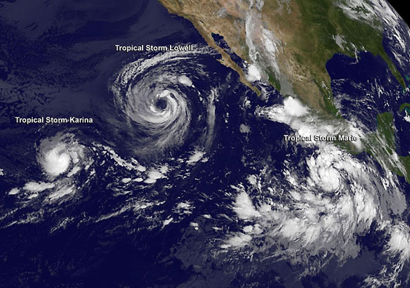
On August 26 at 19:05 UTC (3:05 p.m. EDT) NASA’s Terra satellite captured a visible image of Hurricane Marie drawing in the small remnants of Karina. Marie is over 400 miles in diameter, about the distance from Washington, D.C. to Boston, Massachusetts. Hurricane force winds extend outward up to 60 miles (95 km) from the center and tropical storm force winds extend outward up to 205 miles (335 km).
The Atmospheric Infrared Sounder or AIRS instrument that flies aboard NASA’s Aqua satellite gathered infrared data on Marie when it passed overhead on Aug. 27 at 6:14 a.m. EDT. An infrared image created from that data showed the coldest cloud top temperatures and strongest thunderstorms were around Marie’s center and southern quadrant.
Because of Marie’s large size and its movement to the north, it is creating rough surf that is now reaching southern California’s shoreline. The National Hurricane Center noted that swells generated by Marie will continue to affect much of the west coast of the Baja California, Mexico peninsula and now including the extreme southern Gulf of California and southern California through Thursday, August 28.
Life-threatening surf and rip current conditions are likely as a result of these swells as well as minor coastal flooding.
At 11 a.m. EDT (1500 UTC) Marie’s maximum sustained winds had decreased to near 75 mph (120 kph). Marie was centered near latitude 22.3 north and longitude 123.7 west. That’s about 880 miles (1,415 km) west of the southern tip of Baja California, Mexico. Marie is moving toward the west-northwest near 14 mph (22 kph) and is expected to turn to the northwest.
As Marie moves in a northerly direction it will be moving over progressively colder waters so the National Hurricane Center forecasts additional weakening in the next two days. My Thursday, Marie is expected to become a post-tropical cyclone…
Hurricane Marie Could Swallow Smaller Storm Karina, LiveScience


