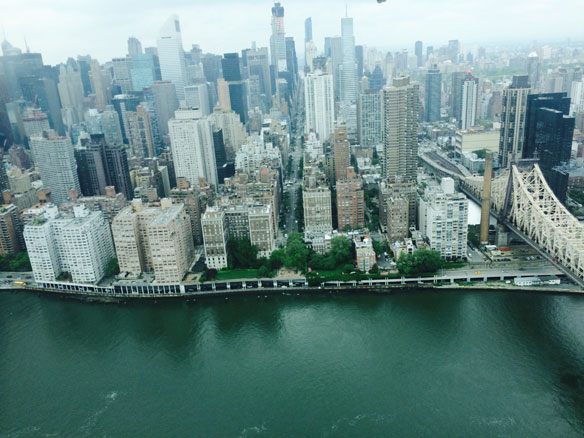
New York City. Photograph: © SAF — Coastal Care
Excerpts;
The National Oceanic and Atmospheric Administration is testing a new feature that lets people get a look at what kind of damage and storm surges are possible, and using nearby Charleston for the preliminary model…
The Experimental Storm Surge Simulator shows a street-level view of where water could rise in a storm surge…
“Encroaching Tides,” A Report By The Union of Concerned Scientists, (10-08-2014)
Tidal flooding, driven by sea level rise, will dramatically increase in U.S. East and Gulf Coast communities over the next 30 years. Daily flooding caused by high tides will occur in the District and Annapolis within three decades as sea levels continue to rise due to global warming, a new study says…
Sea Level Rise Making Floods Routine for Coastal Cities, Climate Central
Coastal American cities are sinking into saturated new realities, new analysis has confirmed…
Reuters’ Water’s Edge Report – Part I And Part II (09-19-2014)
‘Nuisance Flooding’ An Increasing Problem As Coastal Sea Levels Rise, NOAA (07-28-2014)
A NOAA study looks at more than 60 years of coastal water level and local elevation data changes. Eight of the top 10 U.S. cities that have seen an increase in so-called “nuisance flooding”…
Global Lessons for Adapting Coastal Communities to Protect against Storm Surge Inundation, Journal Of Coastal Research (01-07-2014)
Coastal inundation as a result of global sea-level rise and storm surge events is expected to affect many coastal regions and settlements. Adaptation is widely accepted as necessary for managing inundation risk. However, managing this risk is inherently contentious because of many uncertainties and because a large number of stakeholder interests and values are mobilized…


