Excerpt:
In Fiji, the climate crisis means dozens of villages could soon be underwater. Relocating so many communities is an epic undertaking. But now there is a plan – and the rest of the world is watching
For the past four years, a special government taskforce in Fiji has been trying to work out how to move the country. The plan it has come up with runs to 130 pages of dense text, interspersed with intricate spider graphs and detailed timelines. The document has an uninspiring title – Standard Operating Procedures for Planned Relocations – but it is the most thorough plan ever devised to tackle one of the most urgent consequences of the climate crisis: how to relocate communities whose homes will soon be, or already are, underwater.
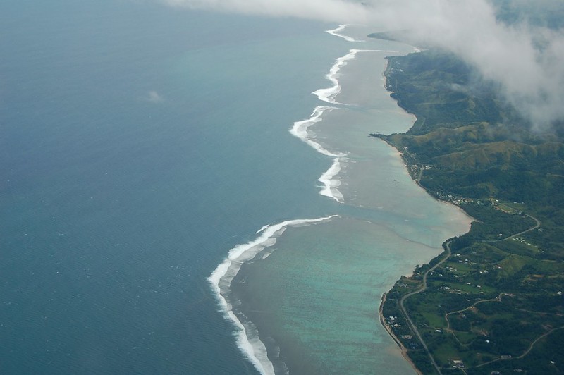
The task is huge. Fiji, which lies in the south Pacific, 1,800 miles east of Australia, has more than 300 islands and a population of just under 1 million. Like most of the Pacific, it is starkly susceptible to the impacts of the climate crisis. Surface temperatures and ocean heat in parts of the south-west Pacific are increasing three times faster than the global average rate. Severe cyclones routinely batter the region. In 2016, Cyclone Winston hit Fiji, killing 44 people and causing $1.4bn of damage, a third of Fiji’s GDP. Since then, Fiji has been hit by a further six cyclones. Five of the 15 countries most at risk from weather-related events are in the Pacific. Fiji is number 14.


