Excerpt:
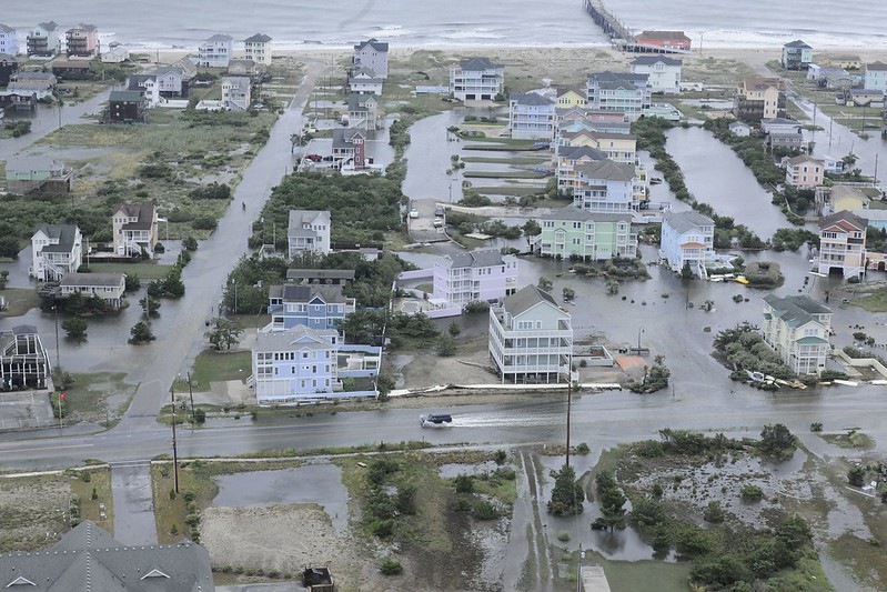
Cottages have been tumbling into the ocean for as long as humans have been building along the Outer Banks. The difference now is that they appear to be falling in at a faster rate, and scores of homes are now at risk.
Areas of the Outer Banks have retreated over 200 feet in the last two decades and are currently losing about 13 feet a year.
Despite these risks, developers continue to add billions of dollars of real estate, from Corolla in the north to Ocracoke Village in the south, making the Outer Banks the fastest-growing section of the North Carolina coast. Property values have also soared to at an all-time high. Dare County, which includes thousands of beach homes, recently valued all of its property at nearly $18 billion. While the value of ocean property in smaller Currituck County has ballooned to almost $5 billion.
“It’s as if no one cares,” says Danny Couch, a Dare County Commissioner, real estate agent and sometimes tour guide. “A lot of people have so much money they don’t care about the risk.”
In the last decade alone, DOT has spent nearly $80 million dollars to keep hazard-prone NC 12 open for the year-round residents of the lower Outer Banks. That includes rebuilding the S-Curves three different times, but doesn’t include the cost of three new bridges needed to traverse inlets opened by storms or to bypass the rapidly eroding shoreline. Together, the bridges push the cost of maintaining NC 12 to about a half-billion dollars.


