Excerpt:
The city redesigned much of a $1.5 billion floodwall project along the East River without any community input, shattering trust. Now, New York is pursuing similar climate resiliency projects in Manhattan that Mayor Eric Adams calls “complex, novel and unparalleled compared to any other American city.”
Next to the Brooklyn Bridge, on an unassuming red brick building, a preserved chalk line serves as a permanent reminder of the 14-foot waves from Hurricane Sandy that inundated Lower Manhattan in October 2012, closed Wall Street, blacked out power to a quarter of a million city residents and killed 44 New Yorkers.
Less than a year later, in August 2013, the Obama administration’s Department of Housing and Urban Development picked a well-known Danish architecture firm, the Bjarke Ingels Group—BIG for short—in a competition called Rebuild by Design. Bjarke Ingels was selected for its plan to protect a vast expanse of Manhattan from future flooding “as we prepare communities across the country for the impacts of a changing climate,” HUD Secretary Shaun Donovan said at the time.
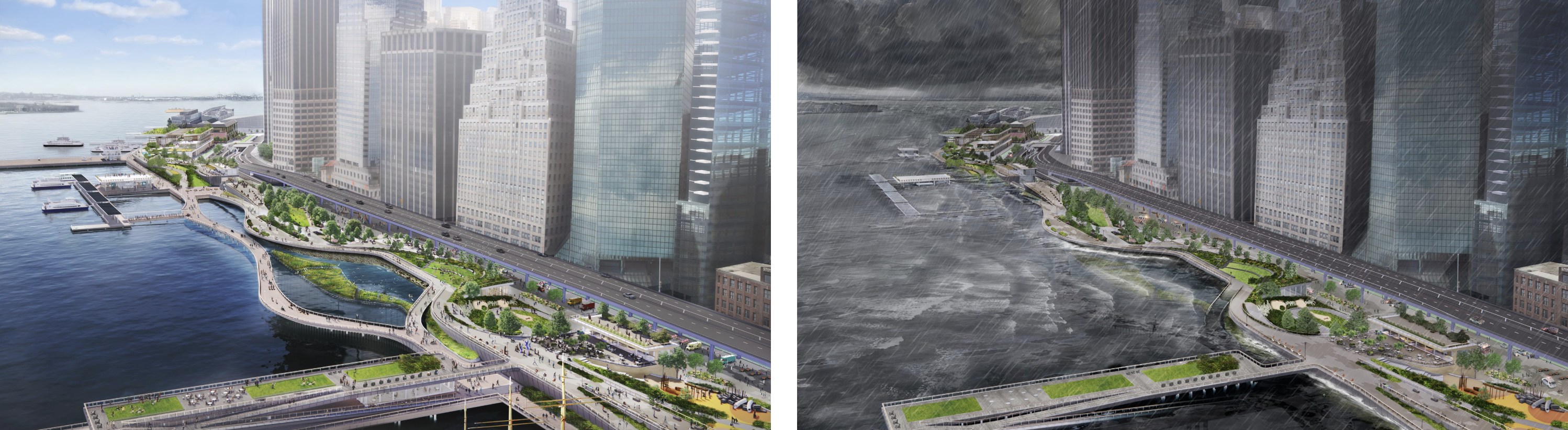
The following June, the department sent New York a $335 million check to build a 2.4-mile span of berms, floodwalls and water gates along the city’s Lower East Side as the first phase in the firm’s “BIG U” vision for a 10-mile, U-shaped water defense that would run from 57th Street on the West Side to the tip of Lower Manhattan, and then up to 42nd Street on the East Side.
The first phase, now called the East Side Coastal Resiliency Project, was described by city and federal officials in 2014 as a “nature as buffer” approach that would allow the beloved East River Park, built by Robert Moses in the 1930s, to flood during climate-amplified extreme weather events. Officials said that phase would cost $770 million and be finished in as little as four years.
None of that turned out to be true…


