
Big Talbot Island’s Blackrock Trail; By Cecelia Dailey
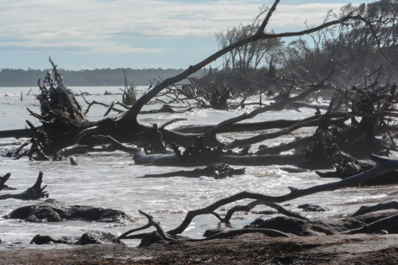
The locals call it “lava beach”—a misnomer which leads some to believe the unique formation found here are igneous in origin. But these mystifying “black rocks” crumble to the touch, staining the hands, feeling gritty with sand. Although many are black, these “rocks” are sometimes light colored, deep red or burnt brown.
Terraces and Towns; By Gary Griggs
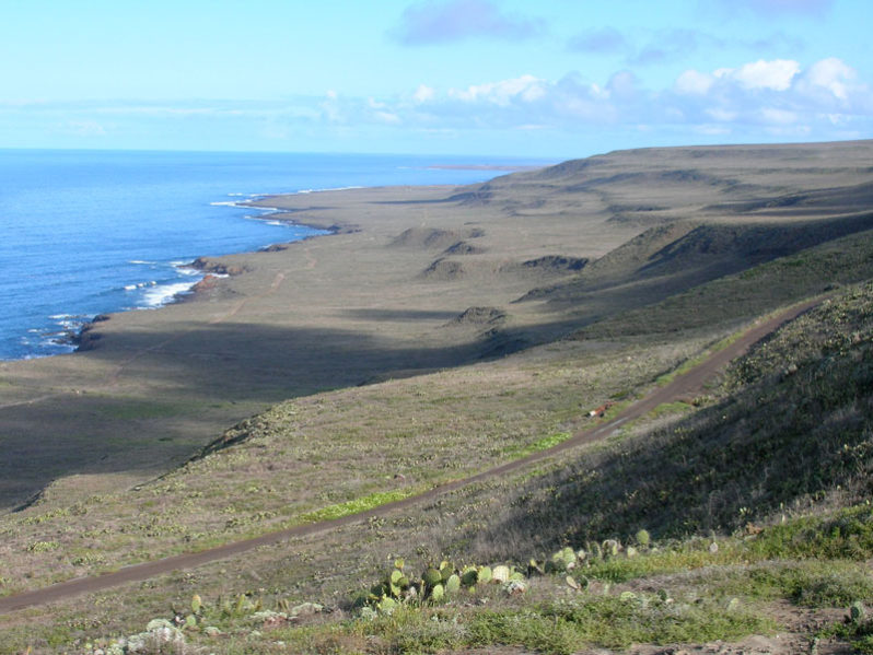
The geologic history of California’s north coast is evident in the typically steep relief and coastal landforms. This is an area where a drive along much of the narrow lanes of State Highway One along the often steep coast is always an adventure and where it’s never wise to take your eyes off the road for very long. Most of the beaches occur at the mouths of the coastal streams.
A Special Beach: Nauthólsvík Geothermal Beach, Iceland; By Norma J. Longo & Orrin H. Pilkey
Iceland is a land of black beaches, usually with a large gravel component. But one Icelandic beach near Reykjavík is different.
“Beach Robbers”; By Charles O. Pilkey
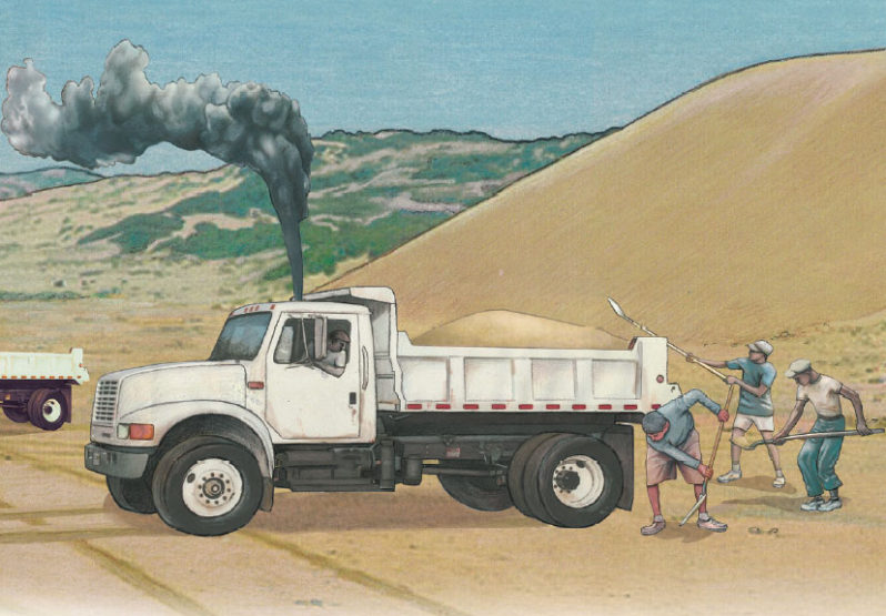
“Beach Robbers”, is a book chapter written and illustrated by Charles O. Pilkey, excerpted from “The Magic Dolphin: A Young Human’s Guide to Beaches, Sea Level Rise and Living with the Sea” by Charles O. Pilkey with Orrin H. Pilkey.
California’s Coastal Harbors, Beach Compartments and Sand Dredging; By Gary Griggs
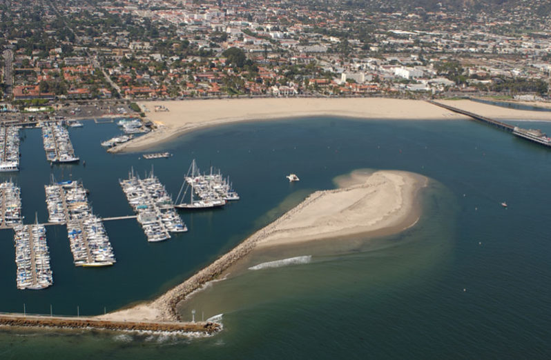
Every year the dredge at the Santa Cruz Small Craft Harbor along central California’s northern Monterey Bay sucks up about 250,000 cubic yards of sand, on average, from the entrance channel and pumps it out onto Twin Lakes Beach where it continues its journey down coast. If it were put in dump trucks, it would fill about 25,000 of them, but the waves can move all that sand without any human labor, and without any noise or carbon emissions.
Beyond Preservation: The Coral Restoration Foundation Bonaire; By Andrew Jalbert
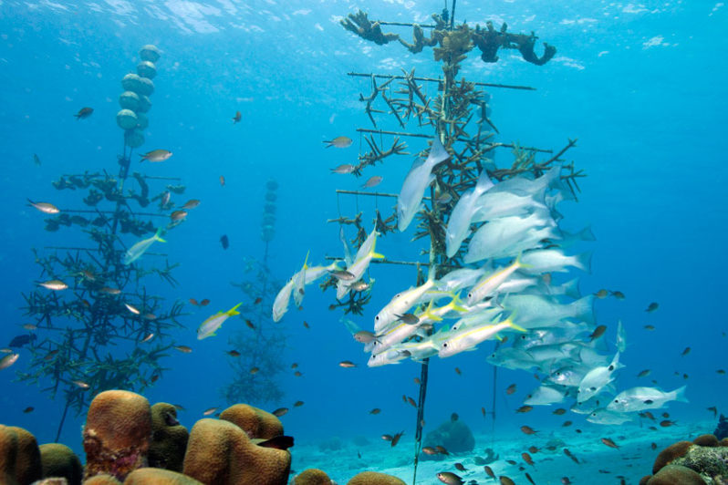
When avid scuba diver and famed Jurassic Park author Michael Crichton first visited Bonaire decades ago, he eloquently described the underwater environment as, “a world of riotous, outrageous color.” Years later, Bonaire has seen some changes but his assessment still largely rings true.
Management Strategies for Coastal Erosion Processes; By Nelson Rangel-Buitrago
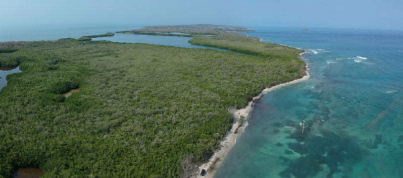
The Special Issue Management Strategies for Coastal Erosion Processes (MSforCEP) presents an international collection of papers related to the implementation of various management strategies for coastal erosion under specific objectives.
Sand volcanos on a flat and sandy beach in the Netherlands; By Bert Buizer, PhD
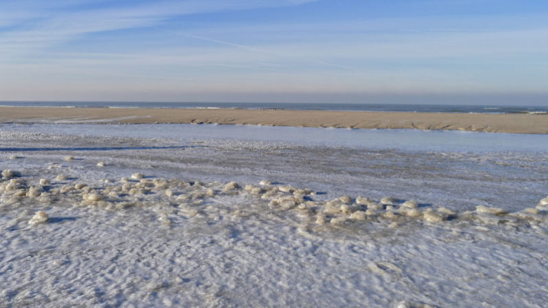
In 2013, some interesting water escape structures were observed near the coastal resort of Bergen aan Zee, in the Netherlands.
Te Pito O Te Henua shore (Rapa Nui or Easter Island): a remote and mysterious place with rare beaches; By Nelson Rangel-Buitrago, William J. Neal & Adriana Gracia
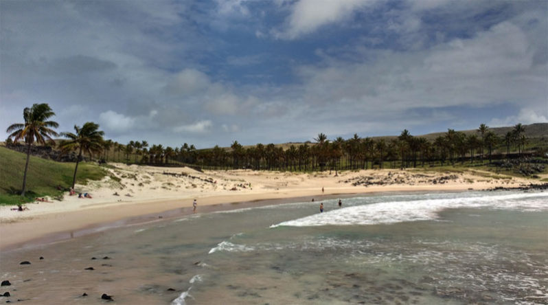
One of the most remote and youngest inhabited volcanic islands in the world is Te Pito o Te Henua Island, or as more commonly known: Easter Island (Rapa Nui or Isla de Pascua). World famous for its mysterious monumental statues (moai) erected by the early Rapa Nui people, the island is located in the southeastern Pacific Ocean nearly 3,650 km west of Chile.