BP Ordered to Use Less Toxic Chemicals in Oil Cleanup
The Environmental Protection Agency has ordered BP to use a less toxic chemical dispersants to break up the oil spill.
Gulf oil spill: real disaster beneath the surface
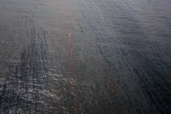
New research suggests that huge plumes of oil might be spread at all levels of the water column, showing how much scientists don’t yet know about the complex Gulf oil spill.
Gulf oil spill: Setback for untested containment dome
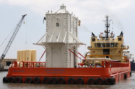
BP officials said Saturday afternoon that they have encountered a setback in deploying a 100-ton containment dome over the massive Gulf of Mexico oil leak.
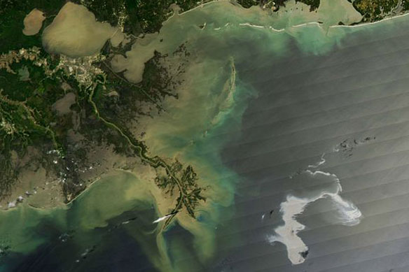
Gulf Coast Flight / PSDS Coverage
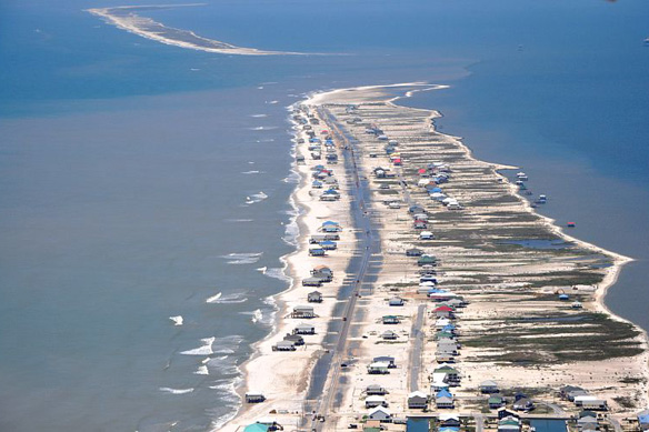
275 images have been uploaded along with a Google Earth file showing the location of each image along with a GPS log of our flight.
Gulf Oil Spill / PSDS Coverage
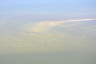
Preliminary imagery from The Program for the Study of Developed Shorelines flight along the Gulf Coast today showing preparations for the oil spill in the Gulf.
Governor Ends Support For California Oil Drilling
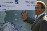
Gov. Arnold Schwarzenegger on Monday withdrew his support of a plan to expand oil drilling off the California coast.
State of emergency is declared as US oil slick nears the coast
The massive oil spill pouring from a ruptured rig in the Gulf of Mexico has reached the coast of Louisiana, threatening an environmental catastrophe in the region.
Oil spill: Gulf of Mexico burn is last-ditch effort to stop landfall
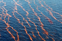
The decision by the Coast Guard to set fire to parts of the Jamaica-sized Gulf of Mexico oil spill spreading toward the Gulf Coast is a sign of mounting desperation.
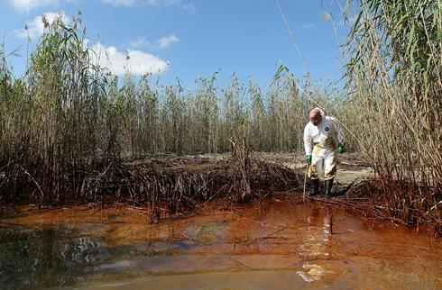
Oil spills on the worlds beaches and in the worlds oceans
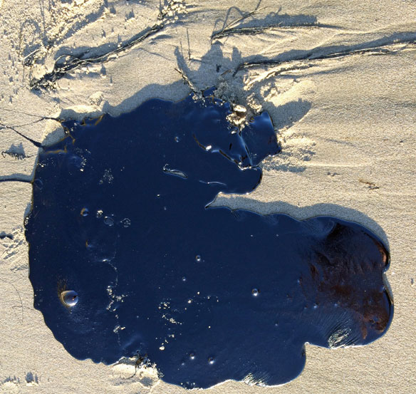
Beaches and river shorelines all over the world are at risk from oil spills.