Dare County, North Carolina. Captions And Photo source: ©© NCDOTcommunications
Excerpts;
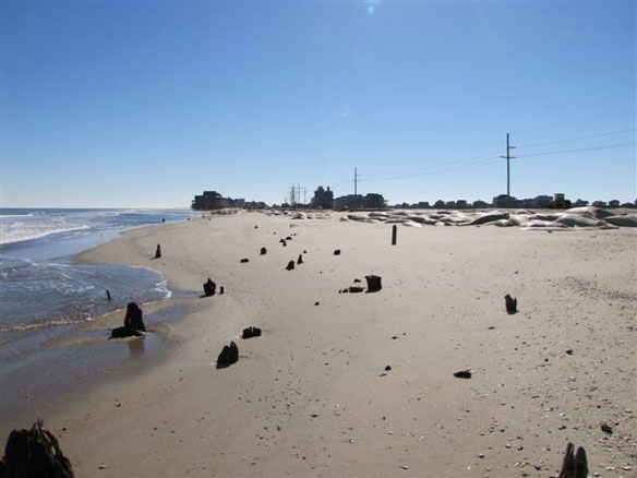
Before you can know what coastline is lost to hurricanes and sea level rise, you need to know what land is there. Researchers have finished the most complete mapping of the NC coast including oceanside, bayside, and all of the estuaries. Now they can track what happens next.
Stand on the beach on the Outer Banks. Feel the ocean breeze. Sink your toes in the sand as the surf washes in and then out. It’s relaxing. It’s peaceful. But what you probably don’t realize is that you are witnessing North Carolina’s coastline changing.
That’s because with each wave that breaks and washes ashore as well as with every gust of wind, the coast is altered.
Sometimes the change is dramatic, as when a hurricane or a nor’easter washes out Highway 12 on Hatteras Island. But more often, the change is too small to be seen right away and it only becomes clear over time…
“North Carolina: The Beaches Are Moving,” A Video featuring Orrin Pilkey, PhD
World famous coastal geologist Orrin H. Pilkey takes us to the beach and explains why erosion has become a problem…