
Strait of Gibraltar…where Europe meets africa. This natural-color satellite image shows the meeting place of Earth’s second largest and second smallest continents: Africa and Europe. The narrow Strait of Gibraltar is the gatekeeper for water exchange between the Atlantic Ocean and Mediterranean Sea. Captions and Photo source: Earth Observatory / NASA
Excerpts;
The ground beneath Portugal, Spain and northern Morocco shook violently on Nov. 1, 1755, during what came to be known as the Great Lisbon Earthquake.
With an estimated magnitude of 8.5 to 9.0, the temblor nearly destroyed the city of Lisbon and its lavish palaces, libraries and cathedrals.
What wasn’t leveled by the quake was mostly demolished in the ensuing tsunami and fires that raged for days. Altogether, at least 40,000 people were killed.

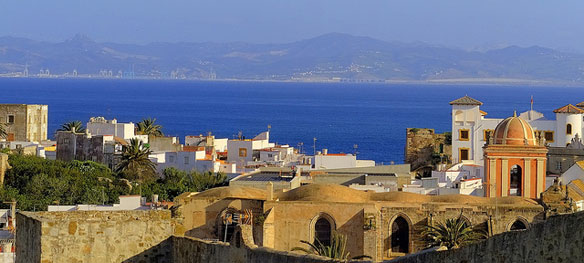
Vistas del puerto de Tánger, Marruecos desde Tarifa, Cádiz. Captions and Photo source: ©© Chodaboy. Tarifa is located on the Costa de la Luz (“coast of light”) and across the Straits of Gibraltar facing Morocco. The municipality includes Punta de Tarifa, the southernmost point in continental Europe.
More than 250 years later, geologists are still piecing together the tectonic story behind that powerful earthquake.
A unique subduction zone beneath Gibraltar, the southernmost tip of the Iberian Peninsula, now seems to be culprit. Subduction zones are the spots where one of Earth’s tectonic plates dives beneath another, often producing some of the world’s strongest earthquakes…
Read Full Article, Our Amazing Planet

Tangier, Morocco. Photograph: © SAF


