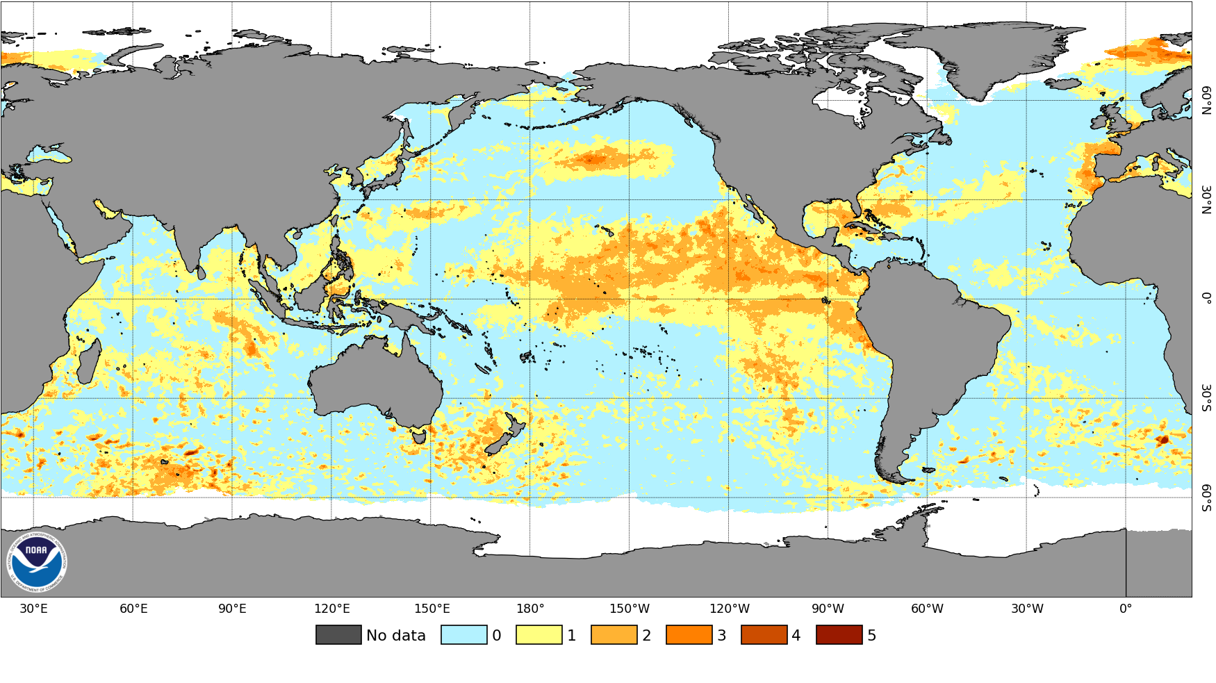
“Months and months of warmth could mean stark impacts this winter and next spring,” said climate scientist Dillon Amaya, who has been closely monitoring the warmth near California.
Two significant weather events in the next two weeks are connected to this marine heat wave: a super typhoon in the western Pacific Ocean and the potential for a profound heat dome in the western United States during mid-July.
The typhoon, named Bavi, will be powered by the bathtub-like warmth of the western Pacific. This dangerous storm will pass near the Northern Mariana Islands, north of Guam, on Monday local time and could also bring destructive impacts to Taiwan and China late in the week.
Meanwhile, thunderstorms bubbling over the marine heat wave could promote the formation of a powerful heat dome thousands of miles away in the western U.S. during mid-July, sending temperatures soaring there.
Defense Department meteorologist Eric Webb said in an X post that this pattern could “greatly increase heat/wildfire risks north of New Mexico and Arizona.” That’s an area where wildfires have recently been raging.
But there may be much more extreme weather after that.
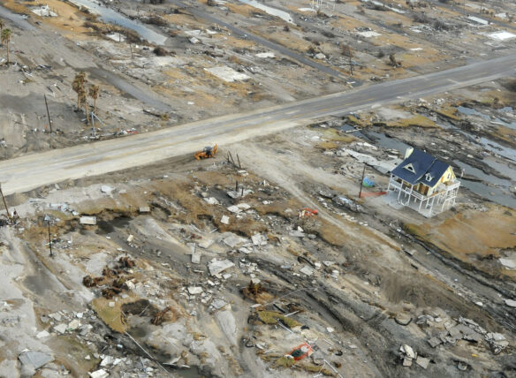
In a recent live stream, climate scientist Daniel Swain said the very warm Pacific seas are expected to drive sea levels 6 inches to 2 feet higher near California.
Winds from storms this fall and winter will elevate the sea even more, potentially resulting in dangerous rises of 2 to 3 feet or more near the California coast.
“This is the time for local governments, for county governments and for the state government to start to prepare for a significant likelihood of much higher than average sea levels, more disruptive coastal flooding and potentially record-breaking coastal water levels during winter storm events and king tide events,” Swain said…