Excerpt:
After oil and tar washed up on eastern Mediterranean beaches in 2021, scientists devised a way to trace the pollution back to its sources using satellite imagery and mathematics.
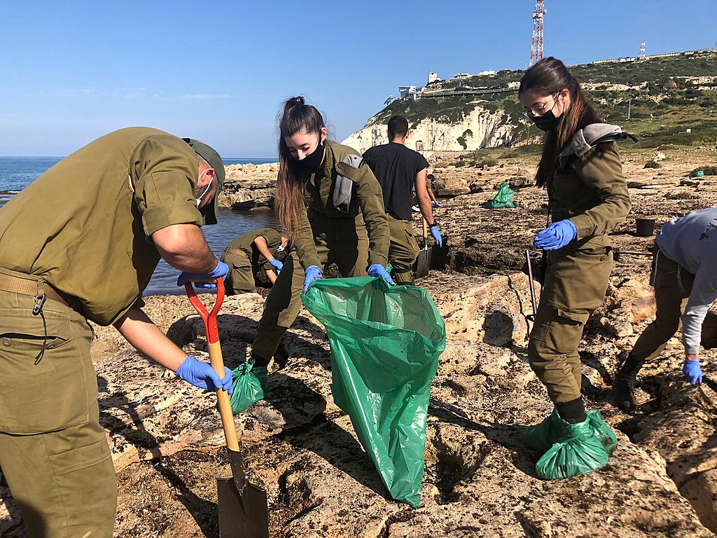
In mid-February 2021, heavy storms brought intense downpours to the eastern Mediterranean coast, keeping residents indoors. After the storms passed, residents returned to local beaches and noticed signs that something amiss had occurred offshore. In Israel, clumps of tarred sand appeared on beaches, along with oil-covered wildlife like turtles and fish. A dead 17-meter-long fin whale also washed ashore—an autopsy revealed oily liquid in its lungs, although the source of the oil was not identified definitively.
Experts estimated that more than a thousand metric tons of tar had landed along 180 kilometers of the Israeli and Lebanese shorelines in mid-February (Figure 1). Gaza also reported that similar arrivals of tar had reached its beaches. The findings forced Israeli authorities to announce the temporary closure of the country’s beaches on Sunday, 21 February, and prompted calls to identify the source (or sources) of the oil, which was not immediately clear…


