Probe Launched Into Erosion at Elbow Beach
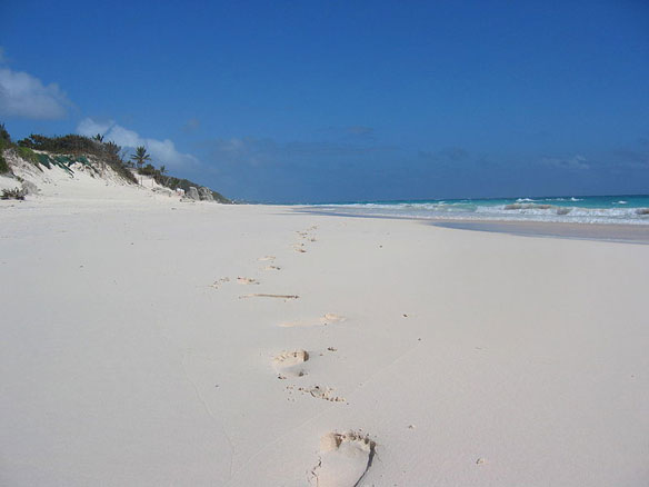
Areas on Elbow Beach, Bermuda Island, have been cordoned off with yellow tape due to a safety hazard caused by erosion.
Areas on Elbow Beach, Bermuda Island, have been cordoned off with yellow tape due to a safety hazard caused by erosion.